3D Site Plans & Elevations
See the Project. Understand the Context.
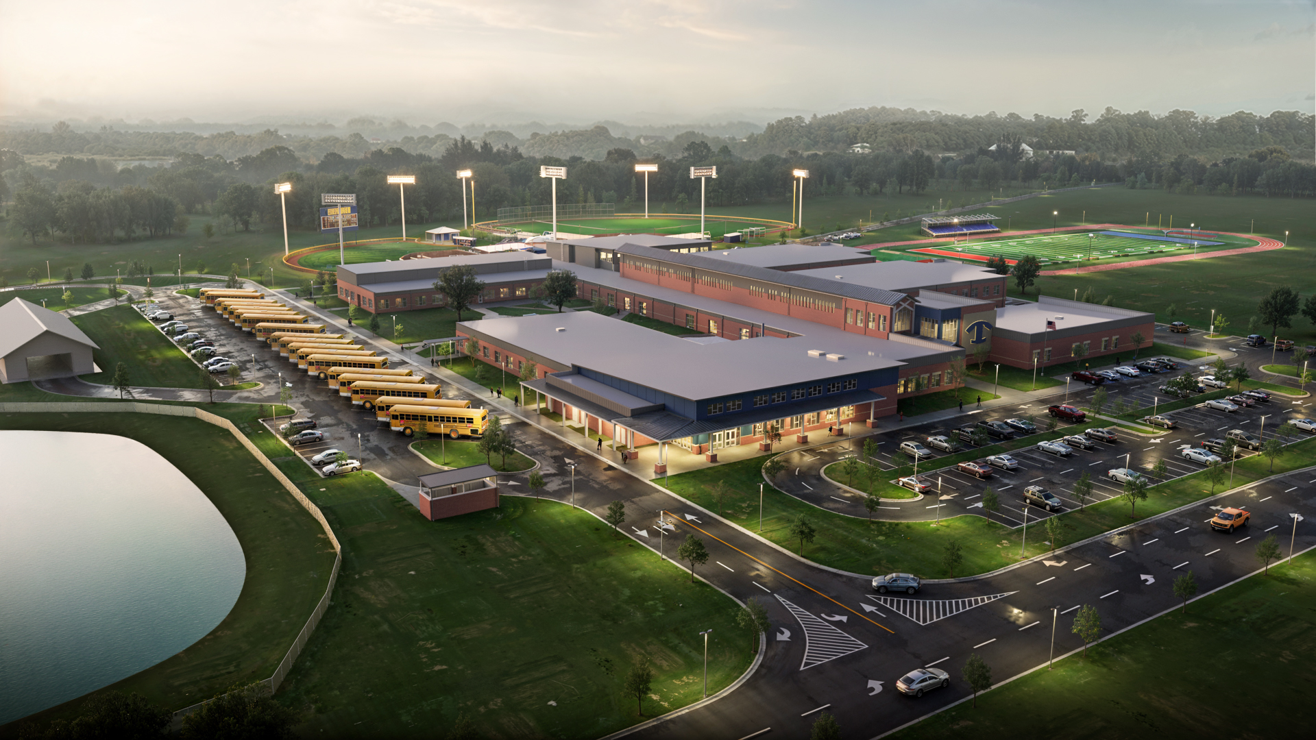
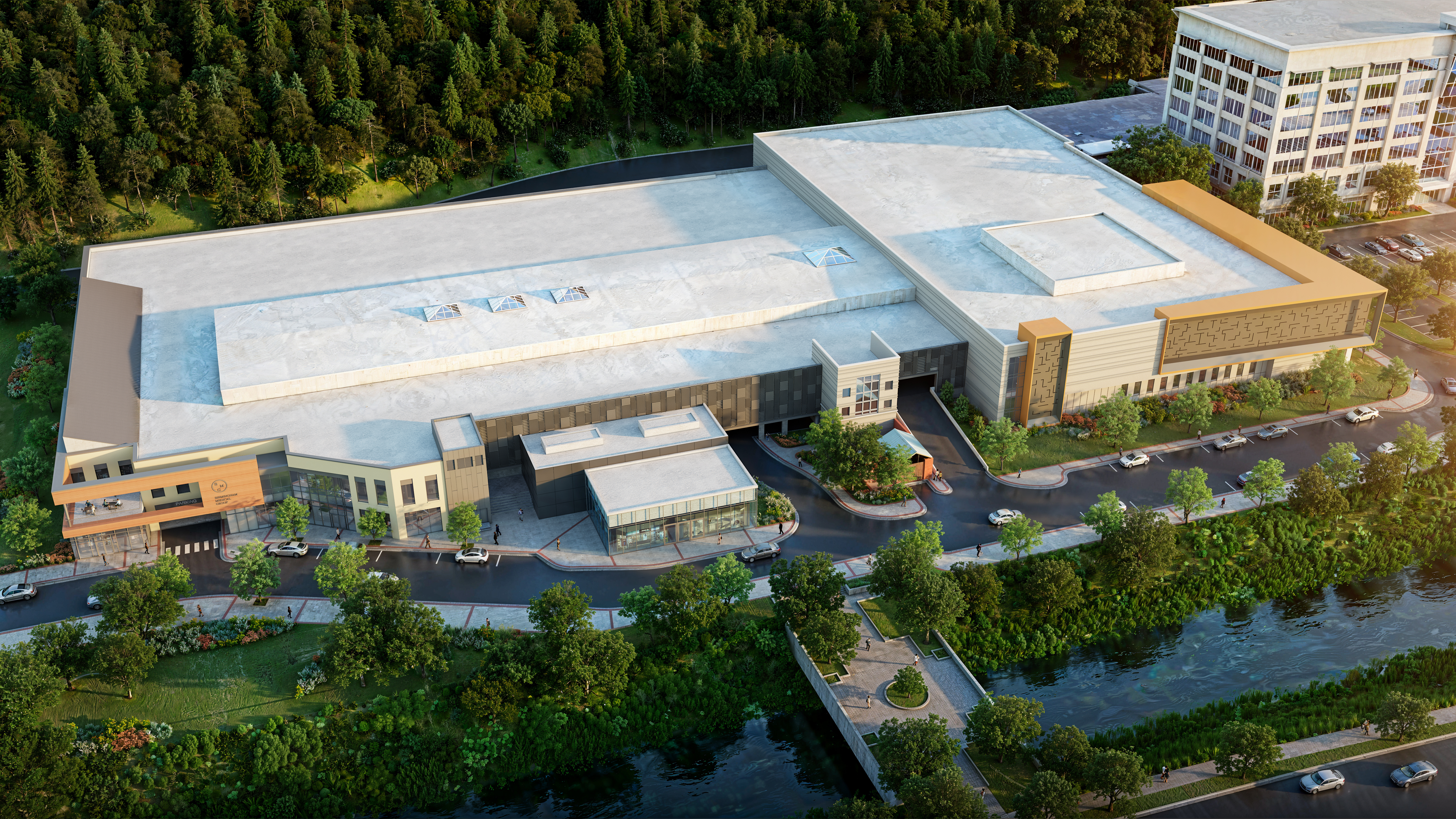
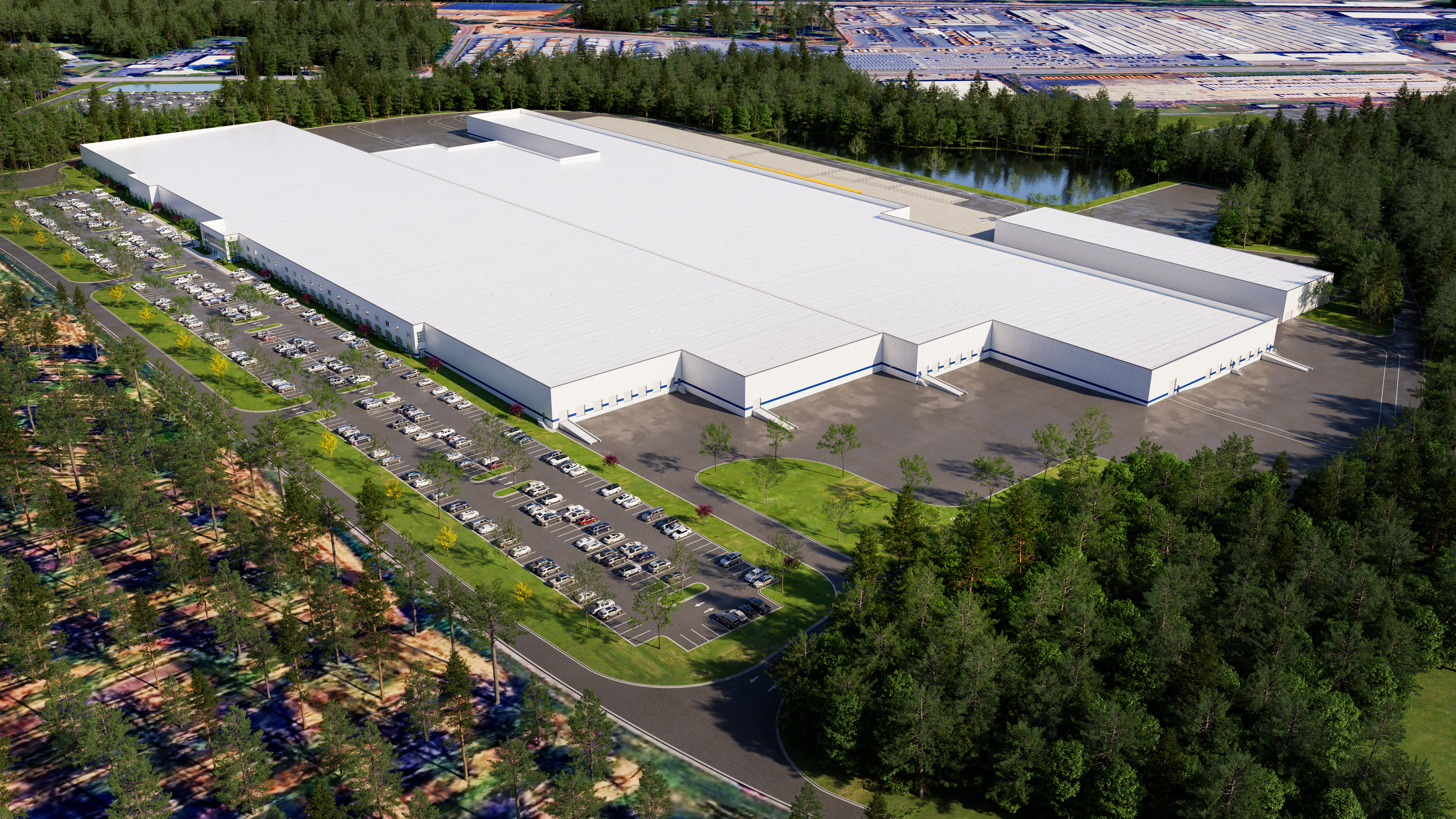
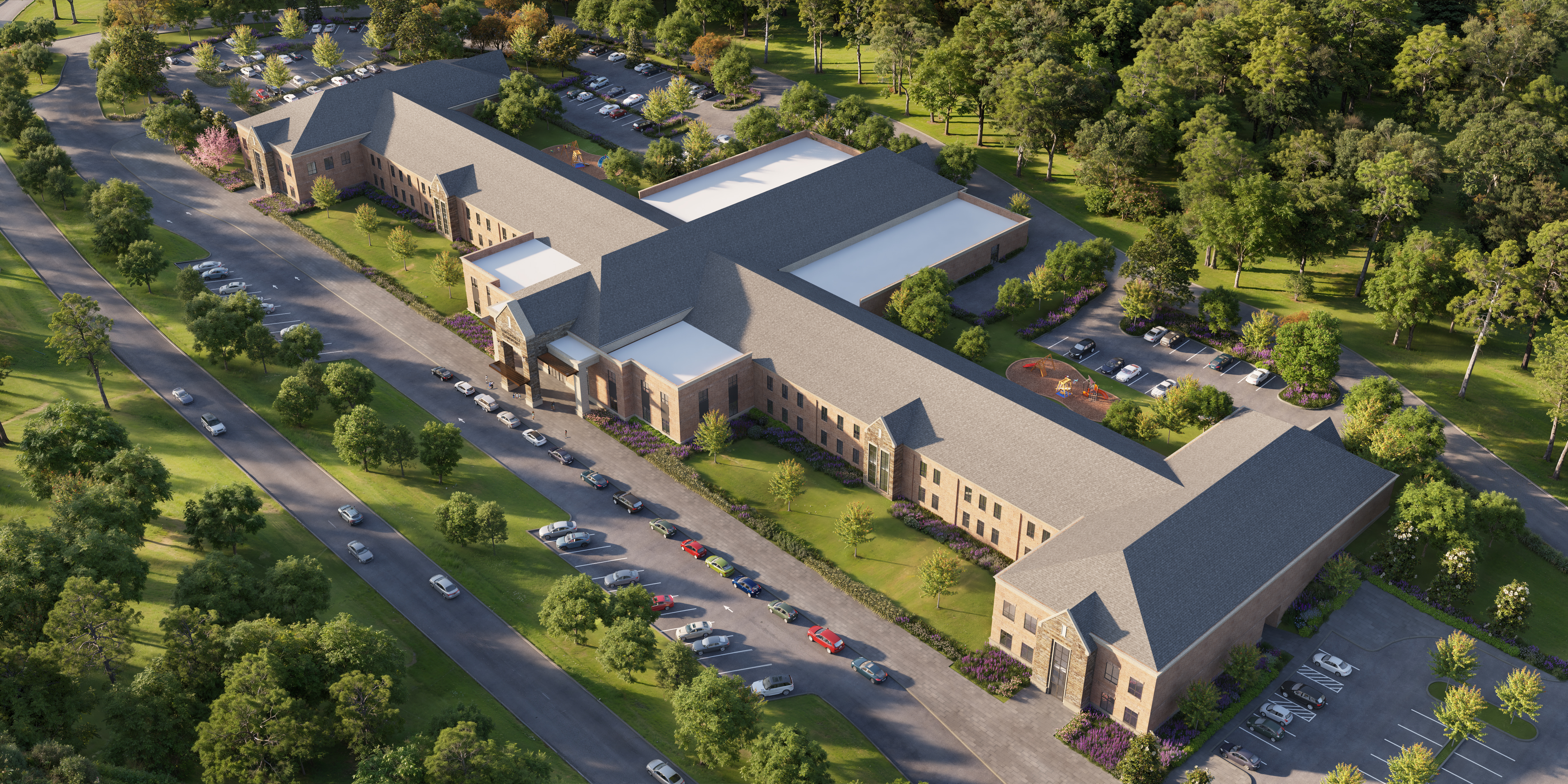
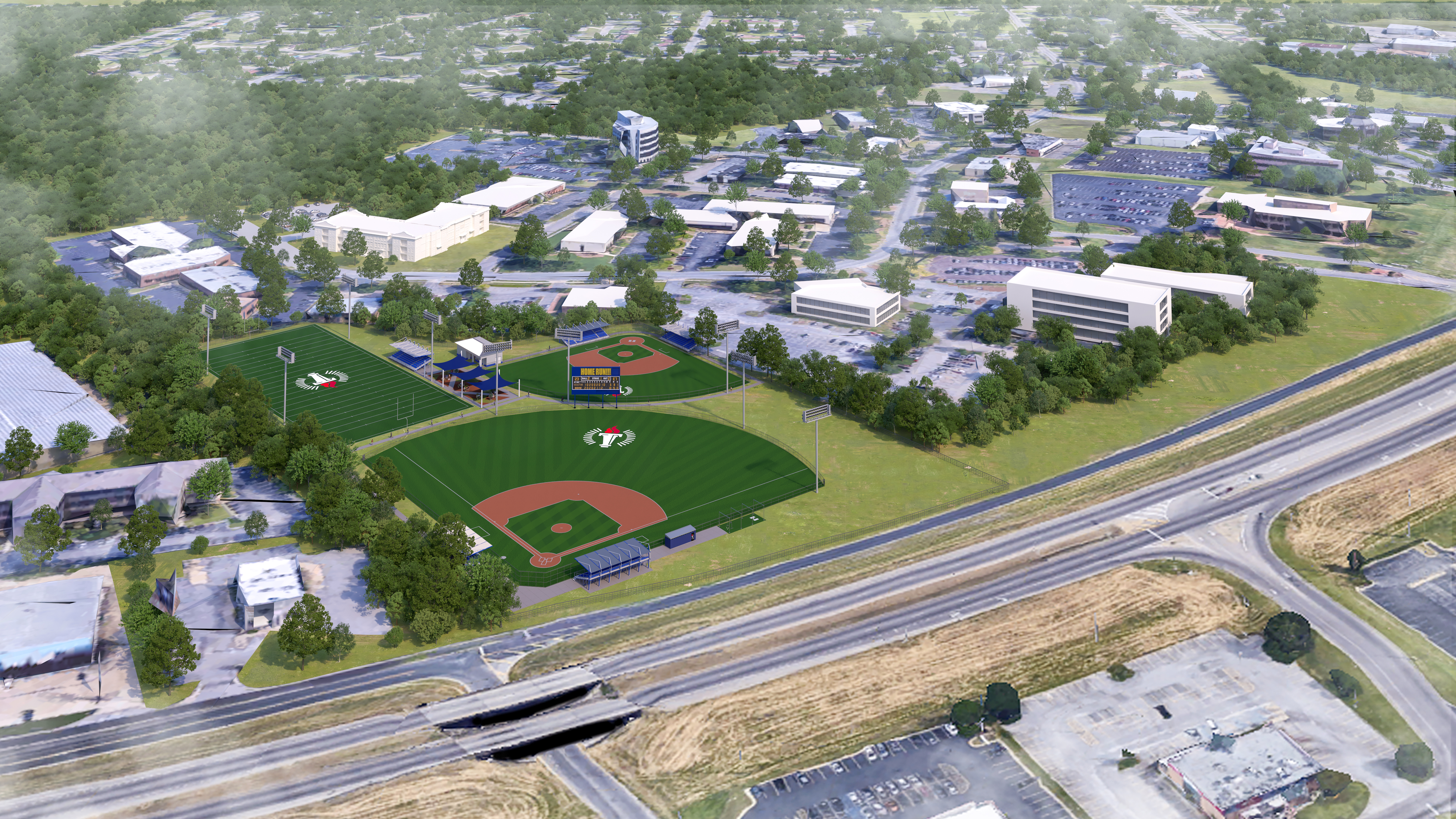
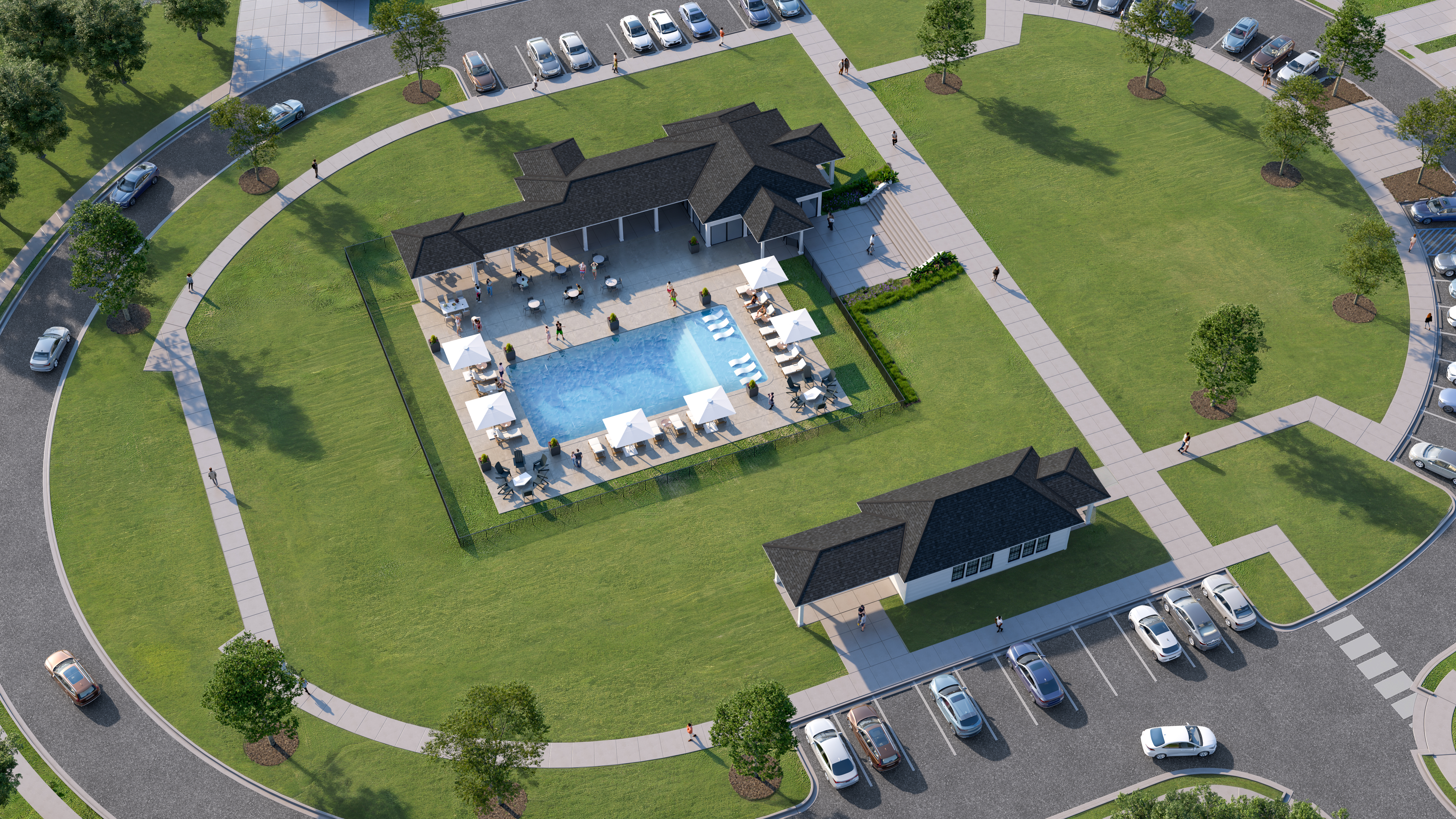
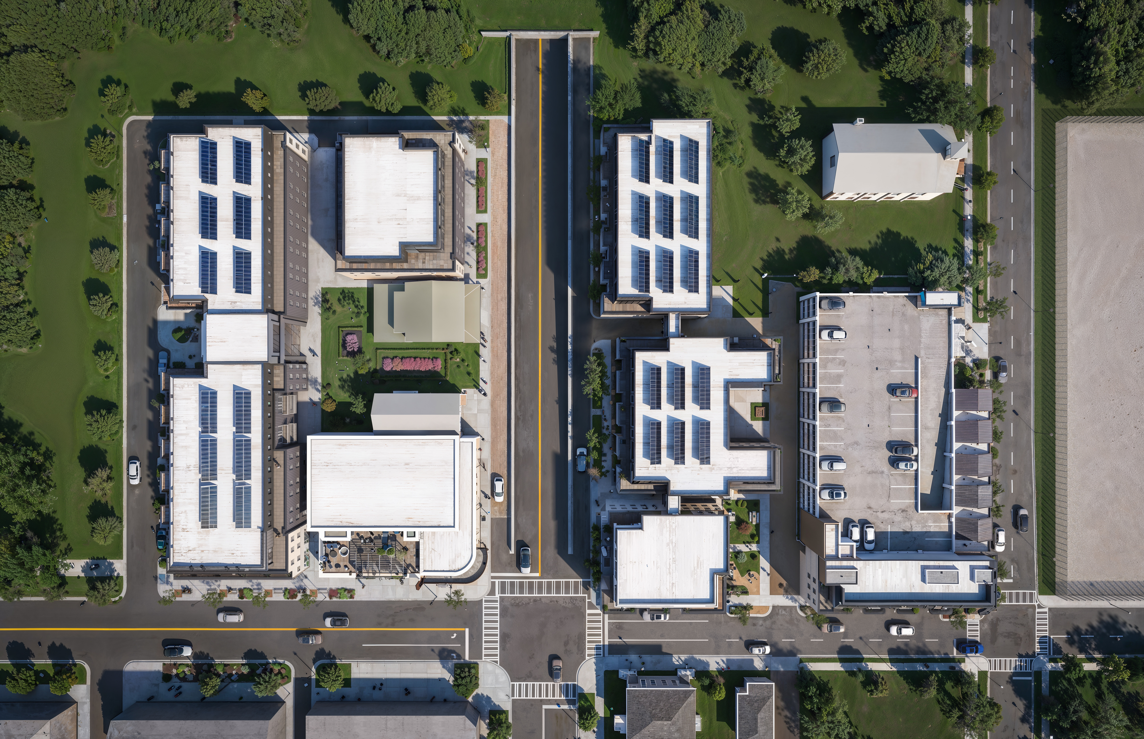
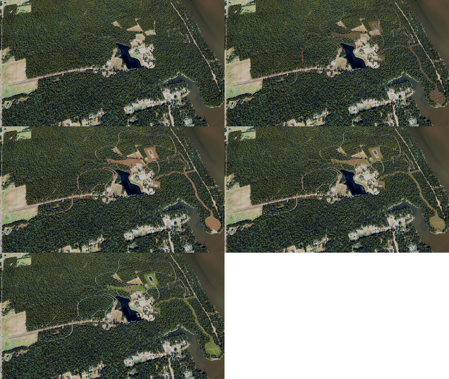
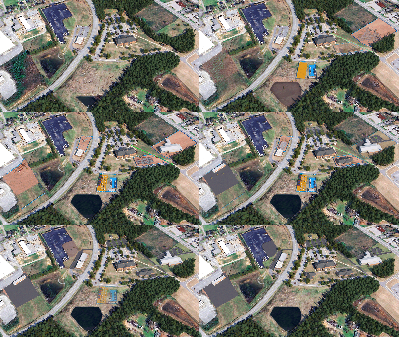
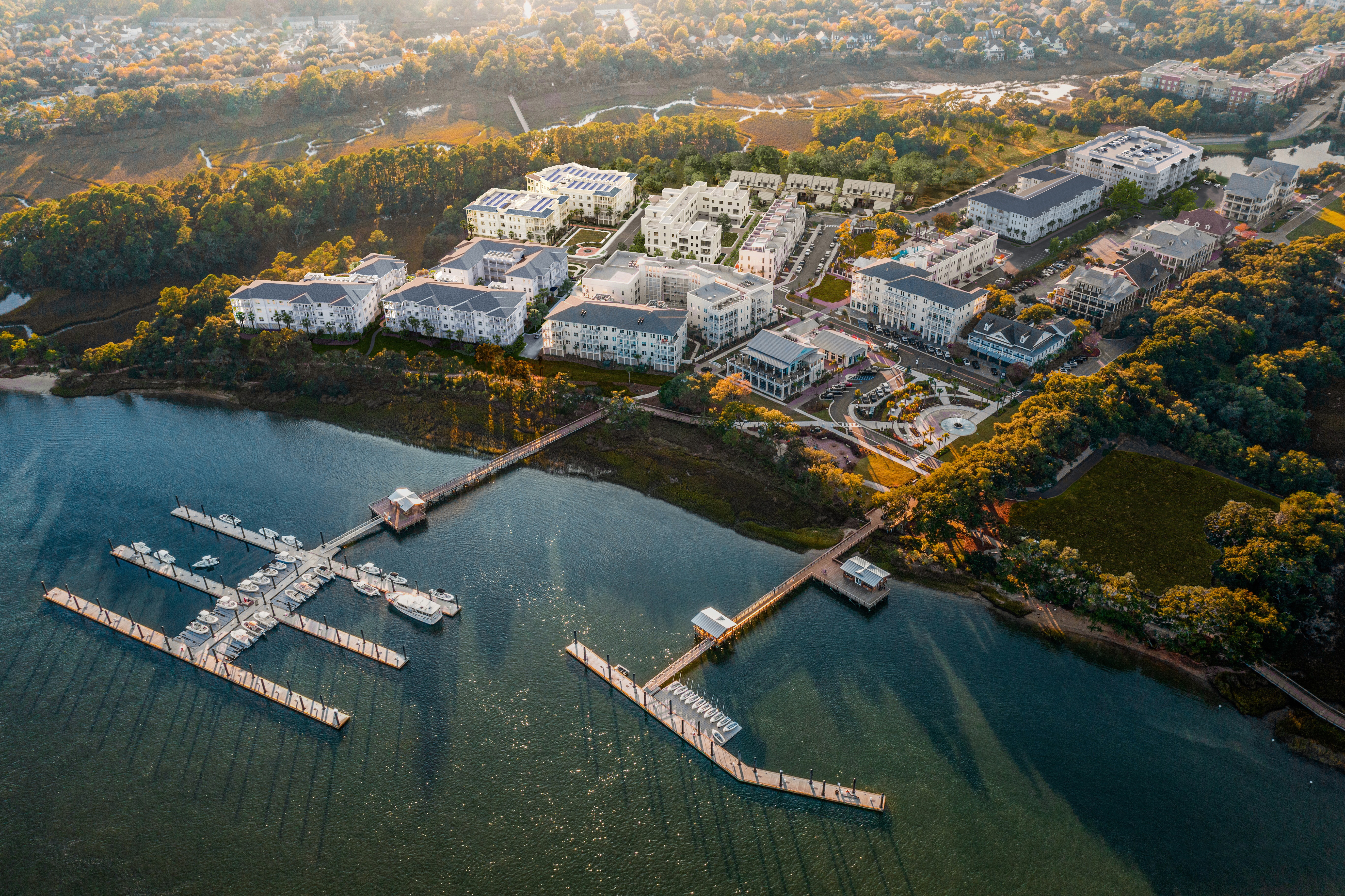
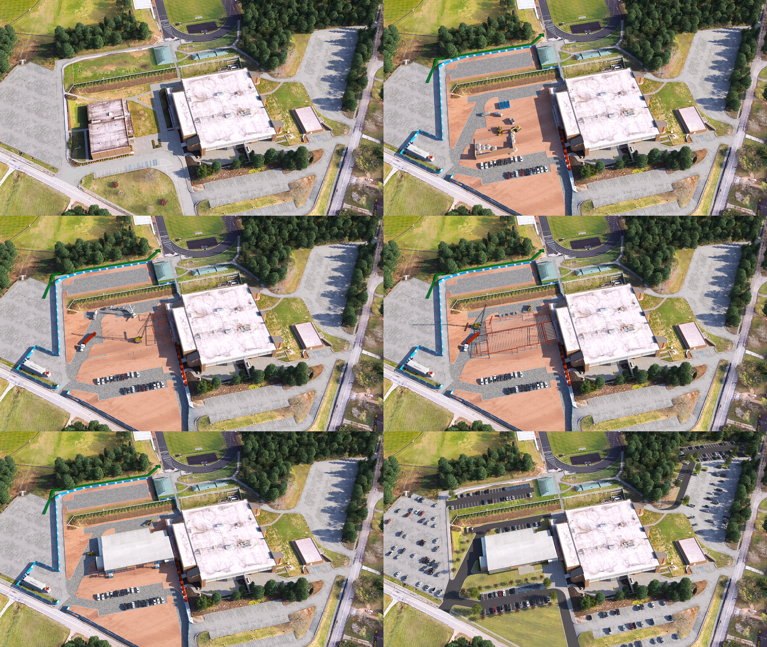
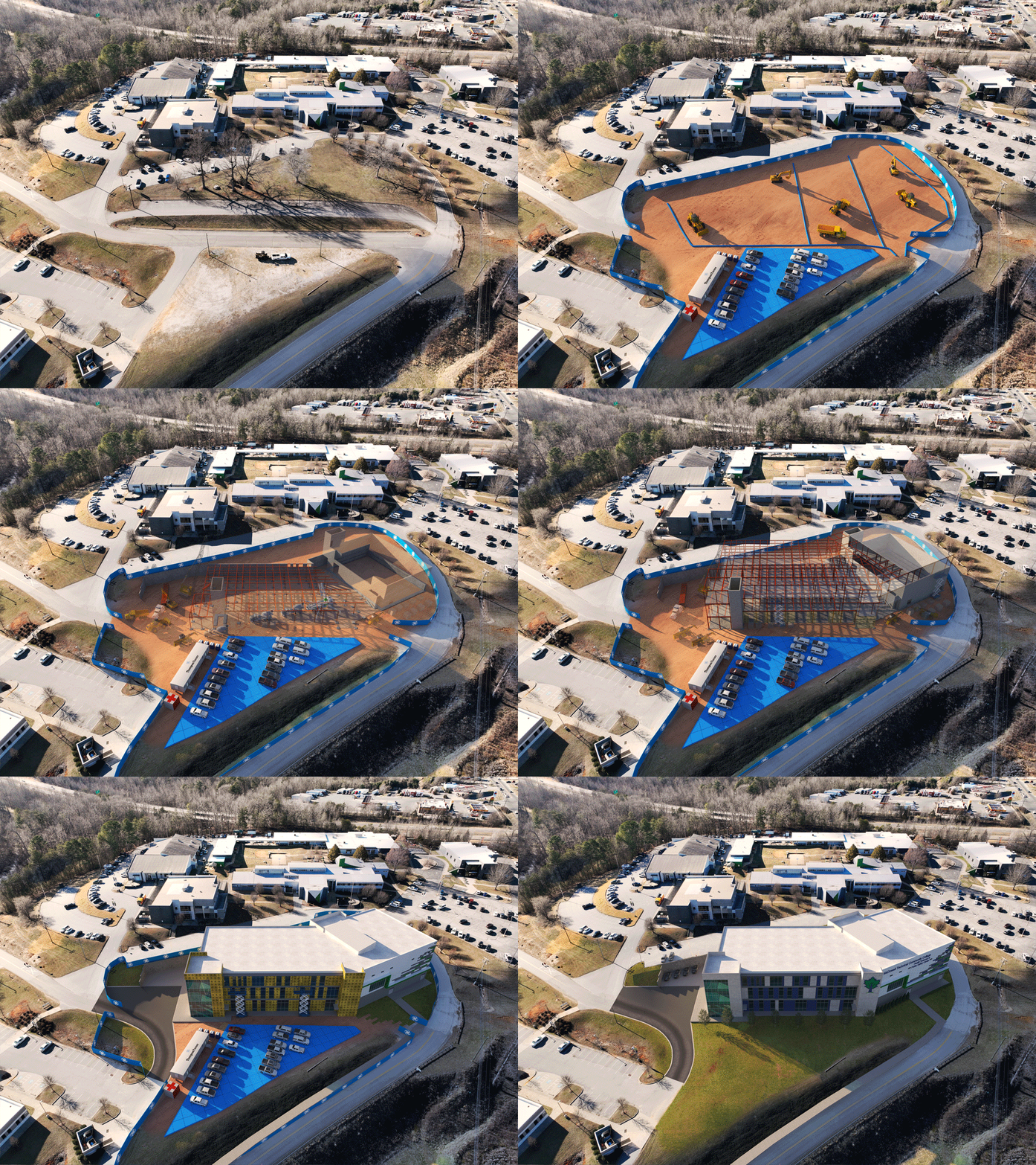
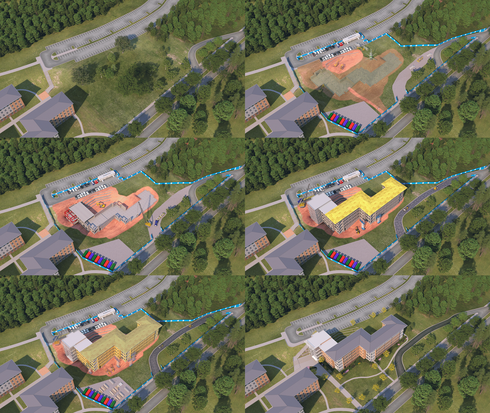
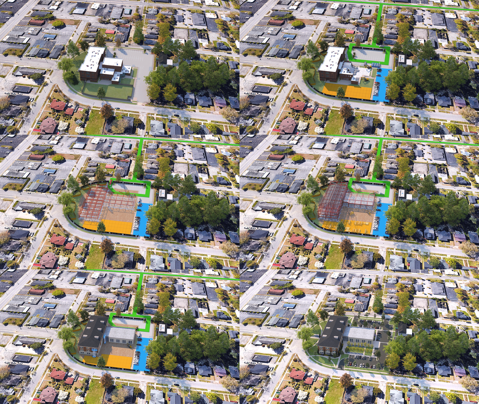
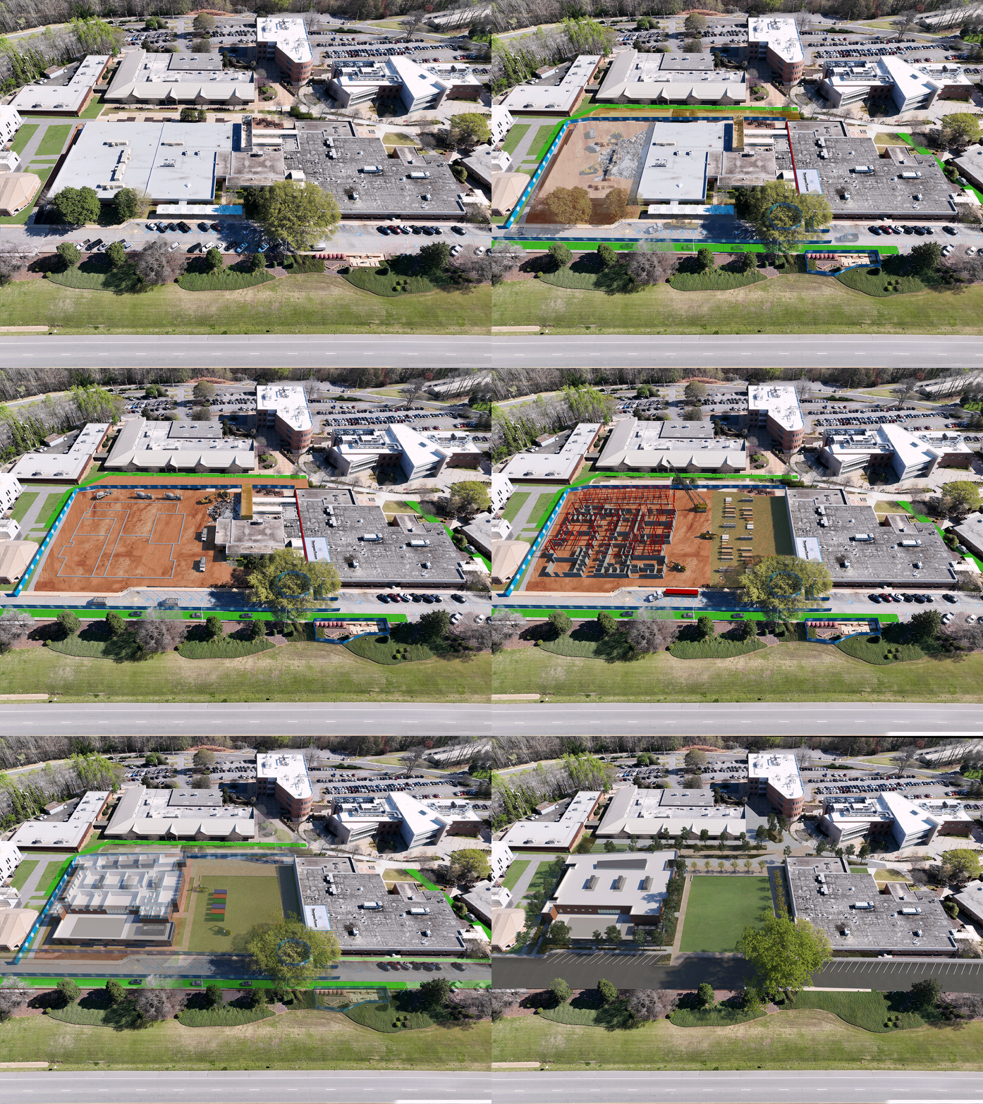
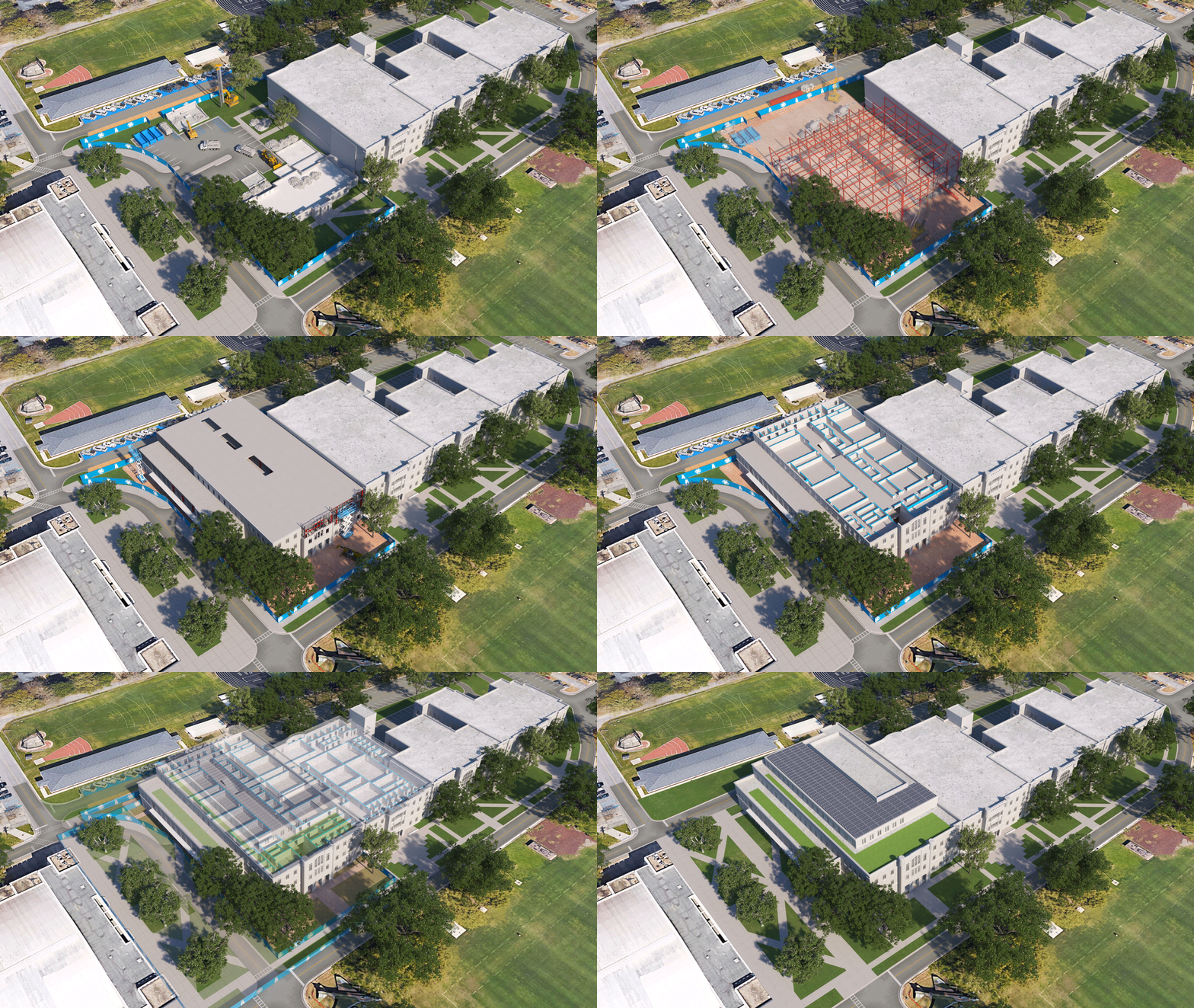
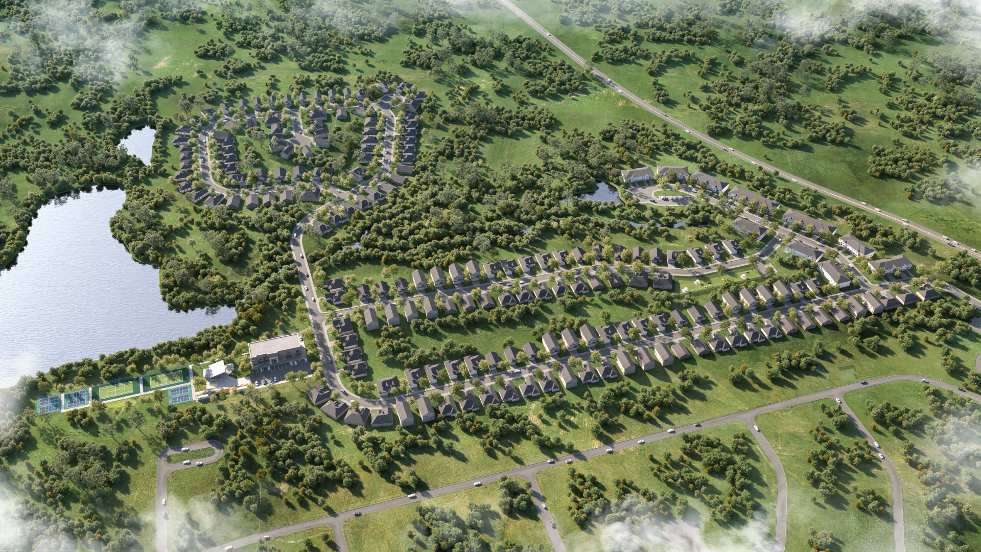
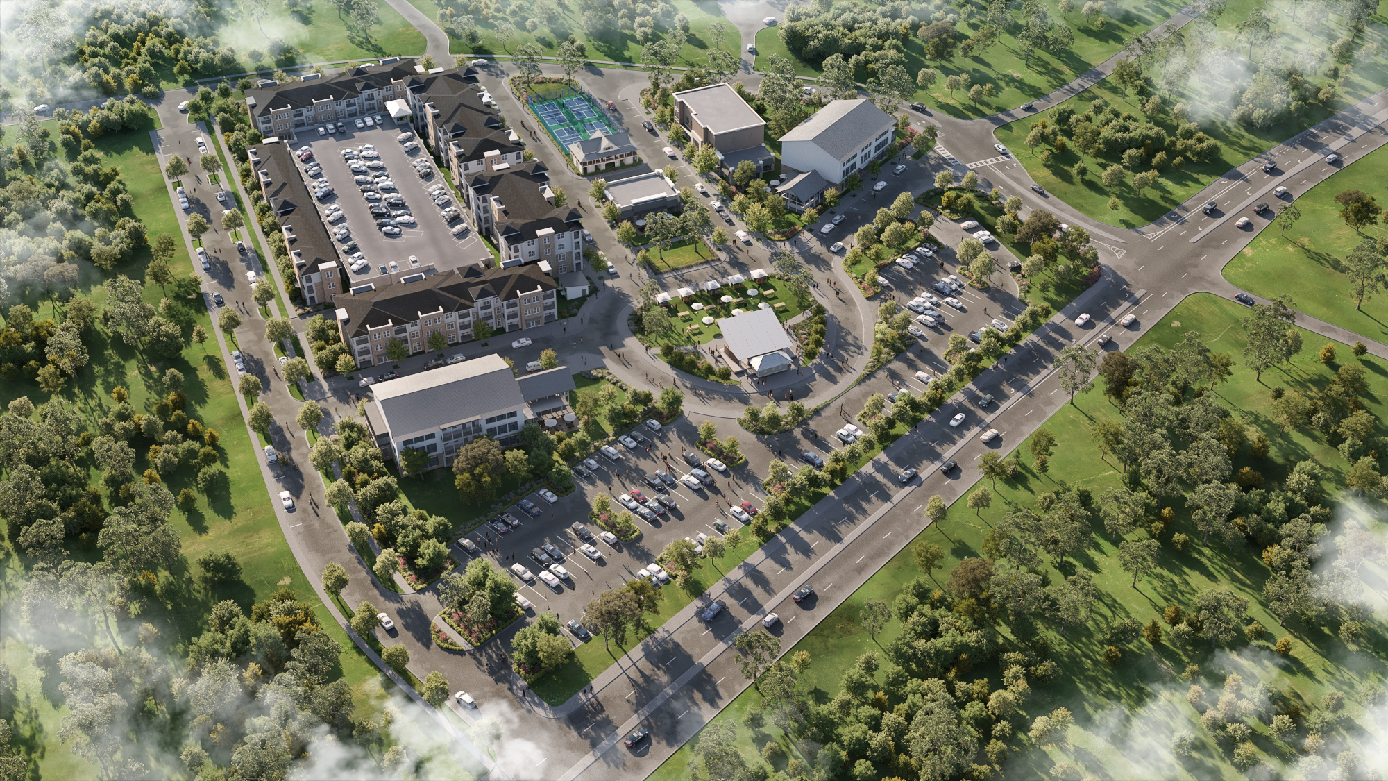
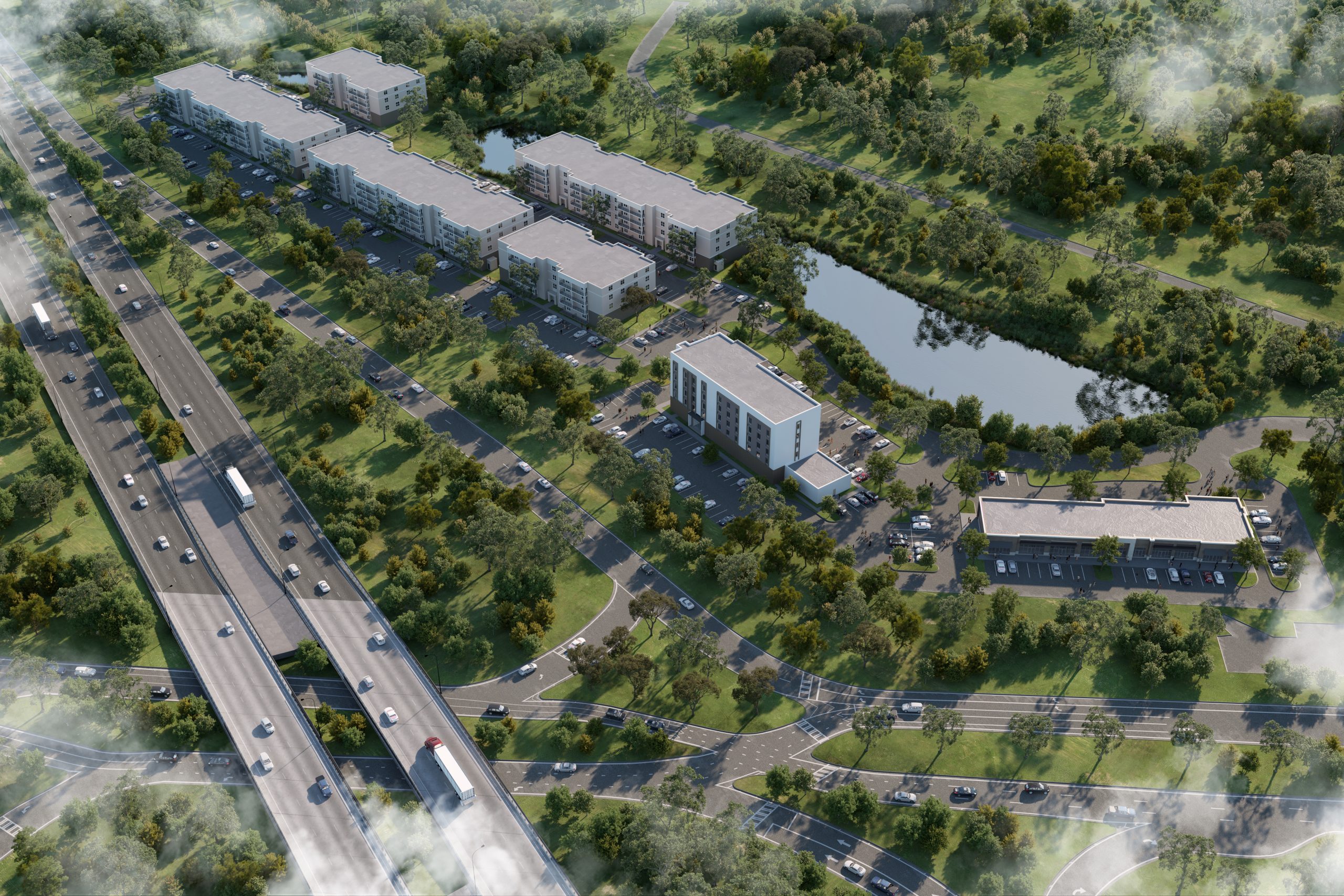
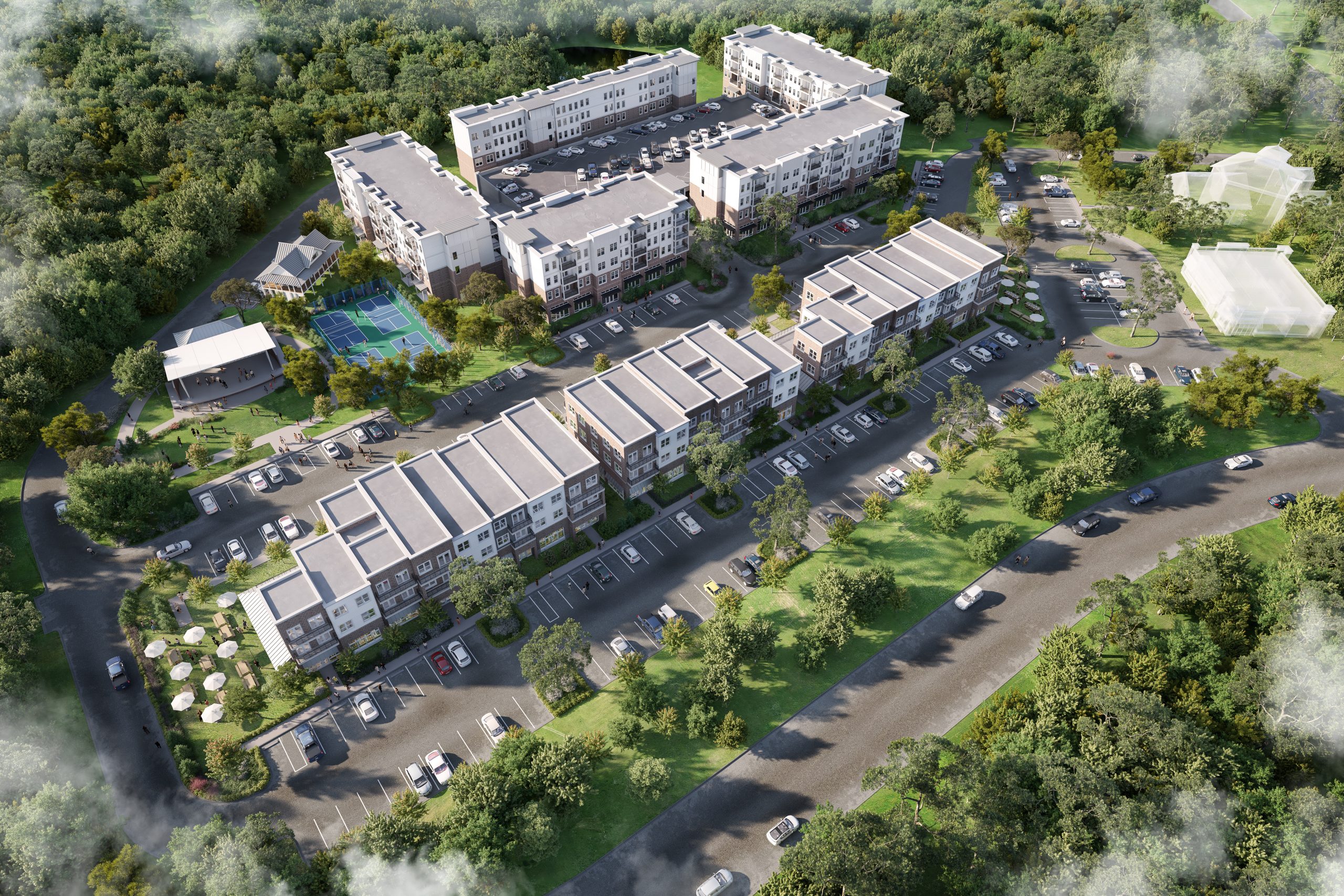
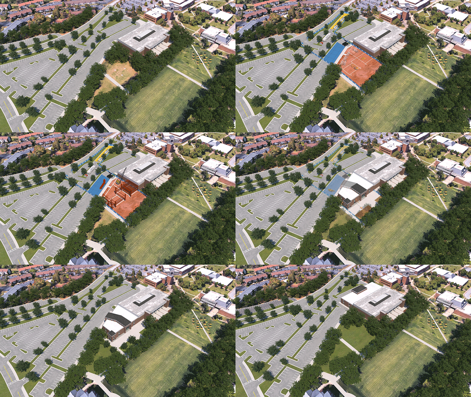
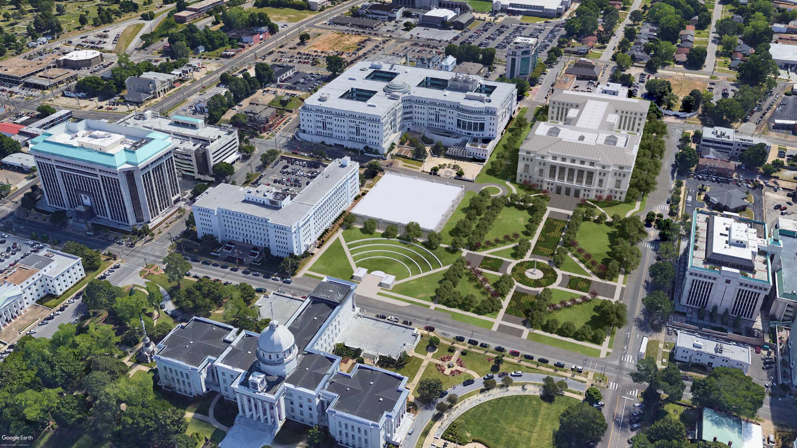
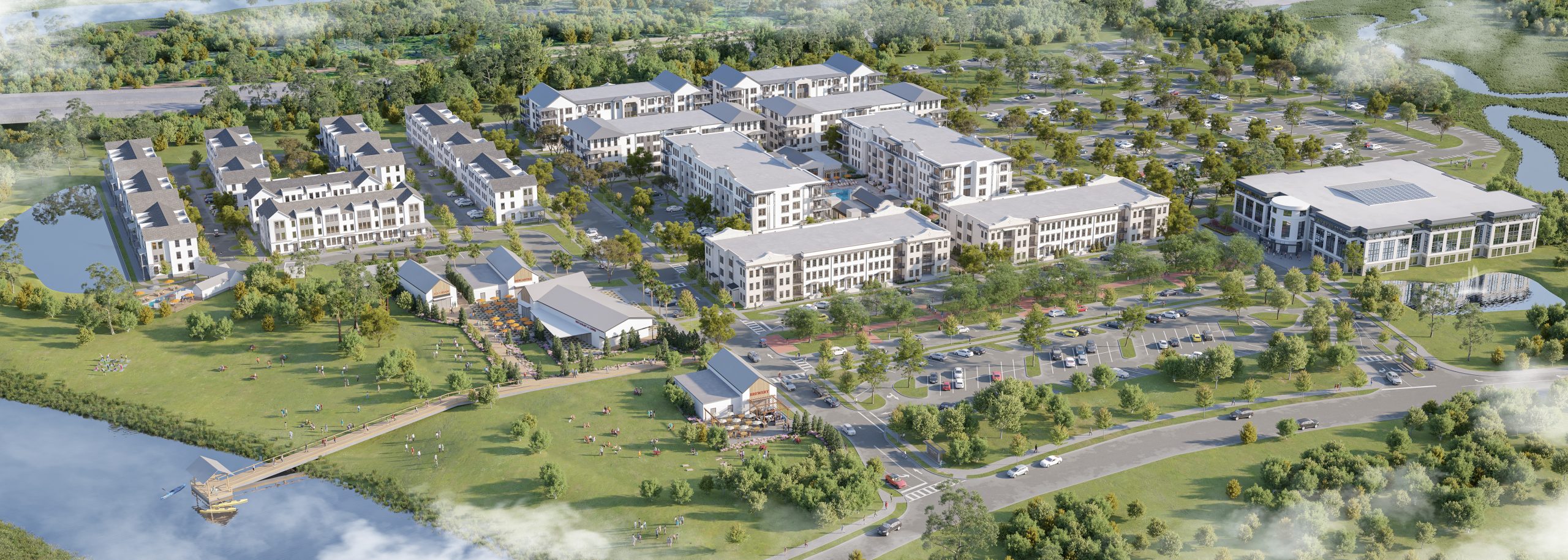
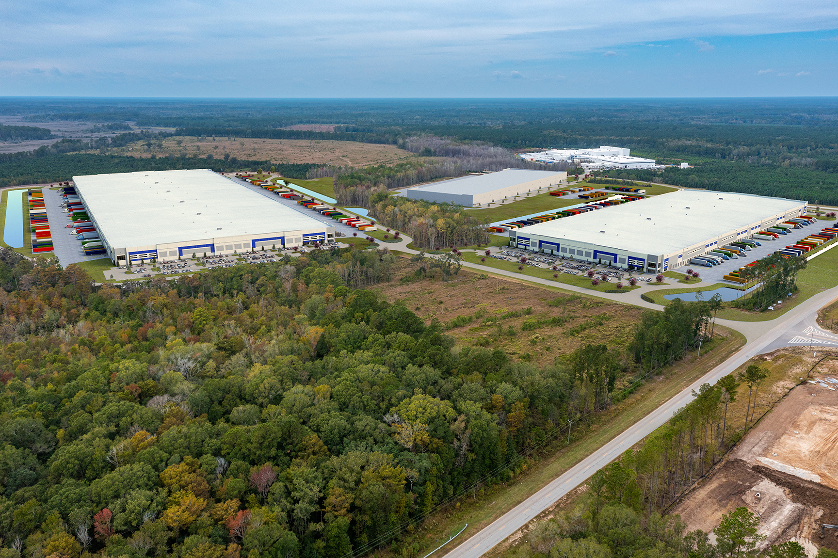
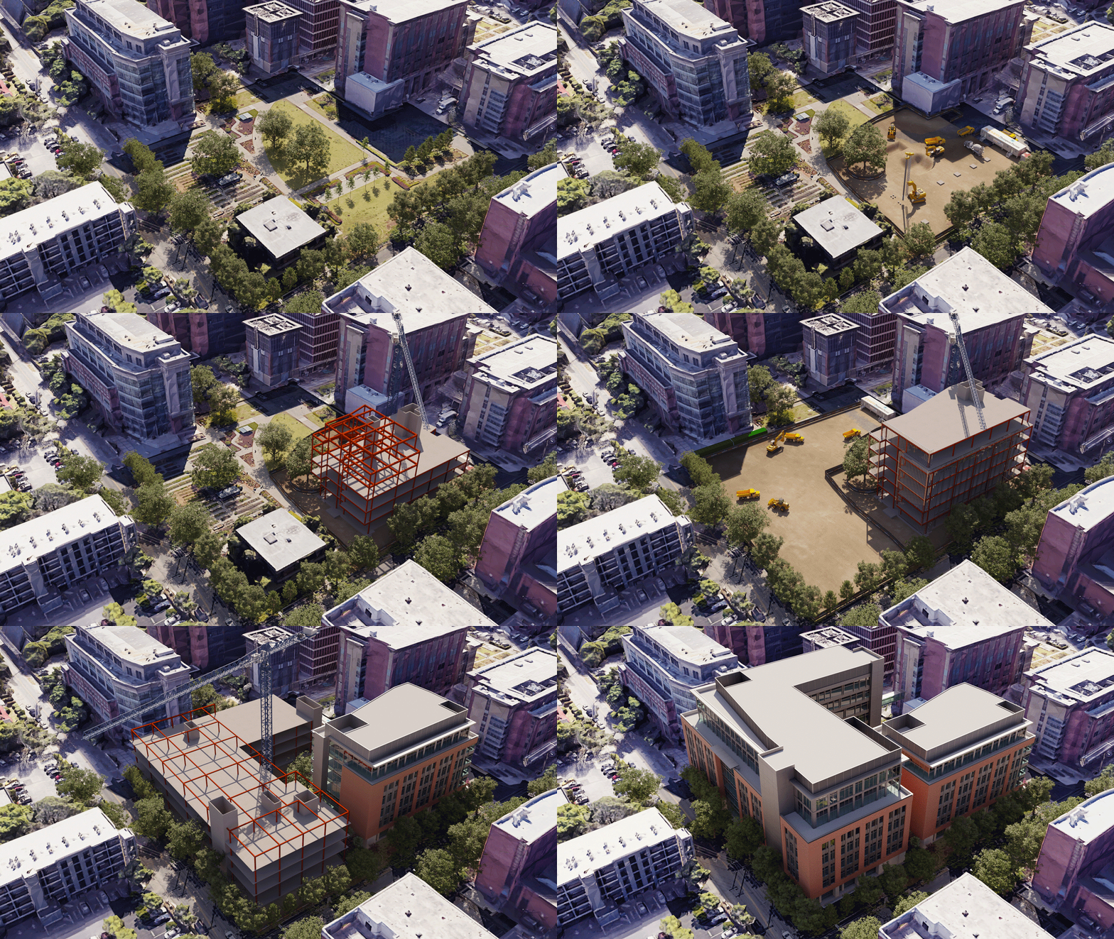
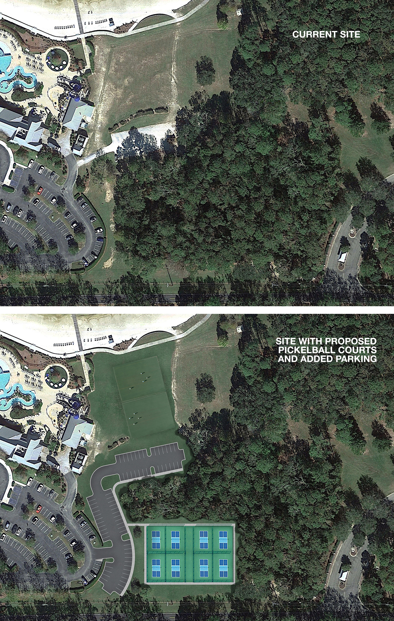
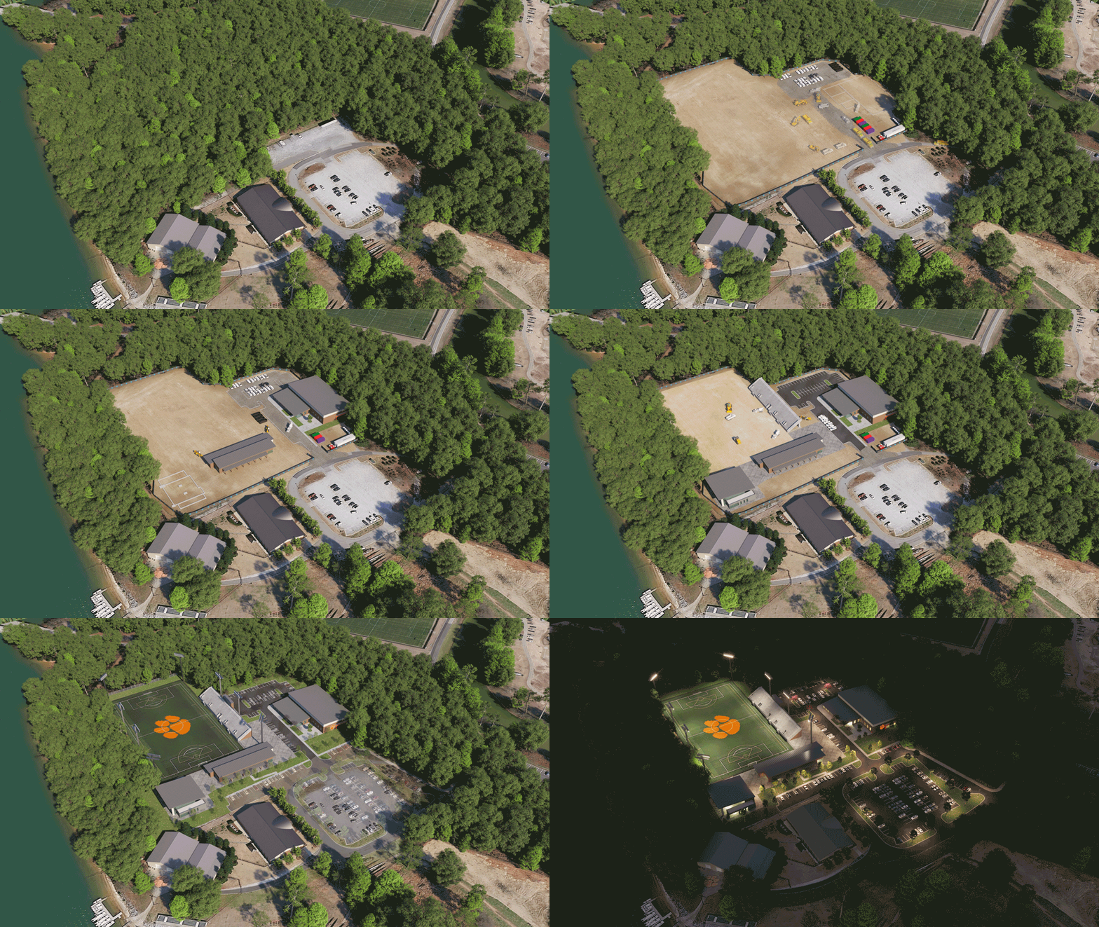
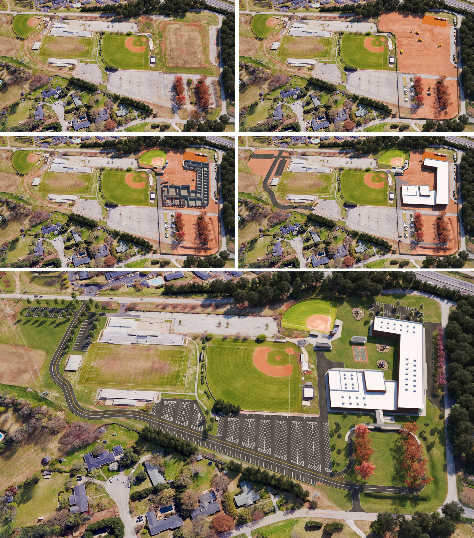
Sometimes understanding a project means looking beyond the building itself. BLUELIME’s 3D site plans provide a broader view, showing how a proposed development relates to its surroundings, infrastructure, landscape, and overall site.
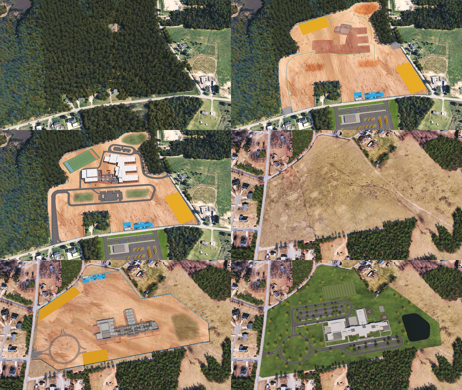
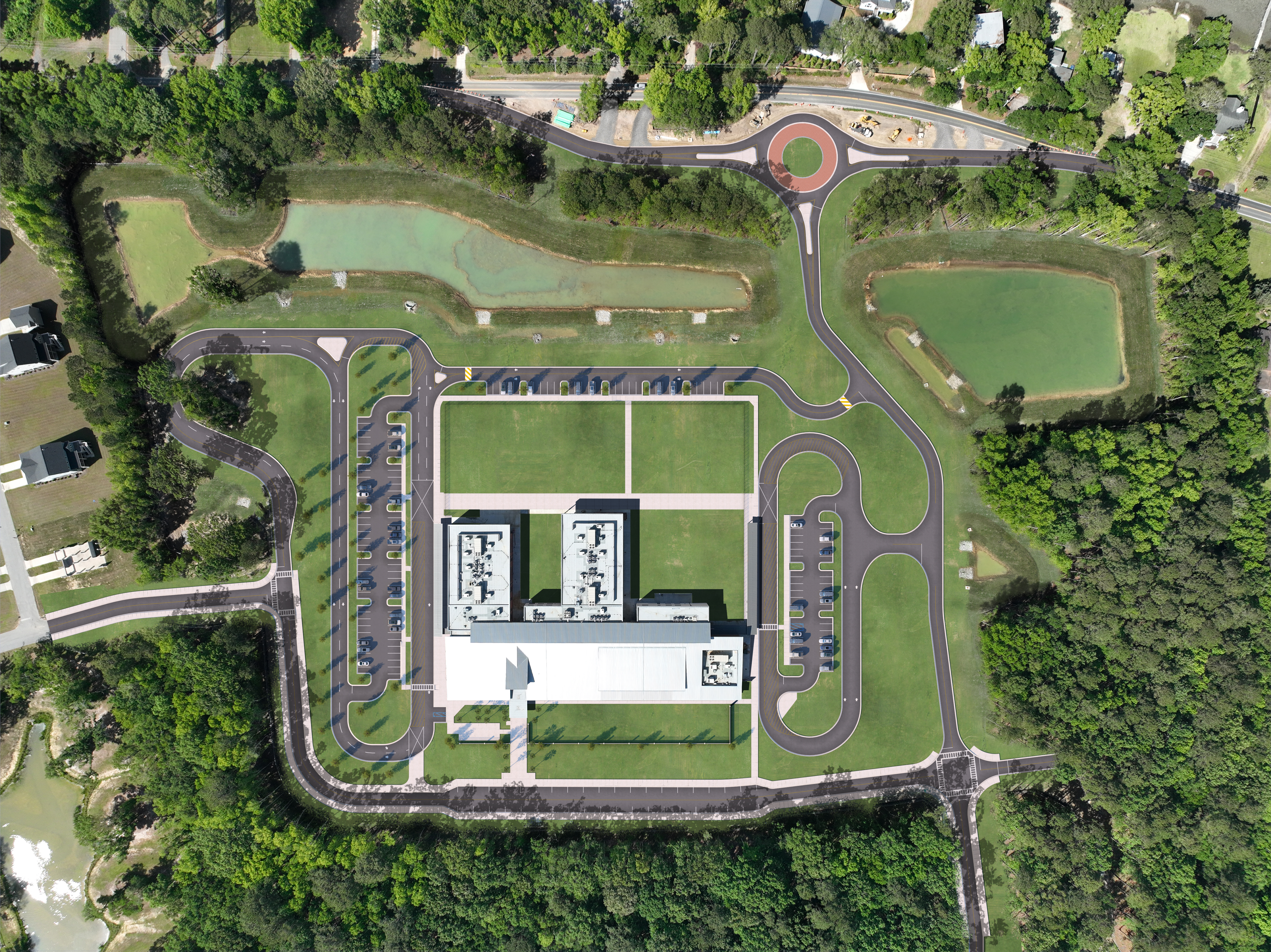
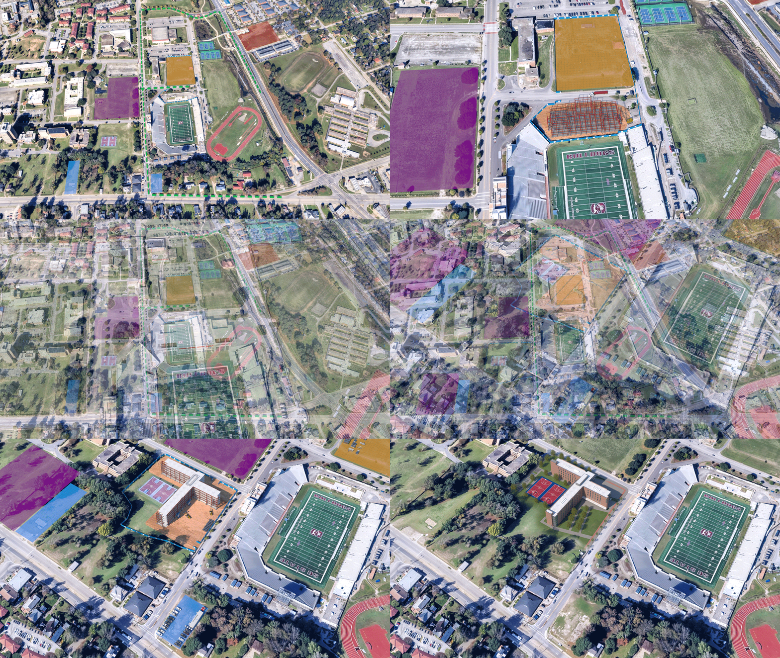
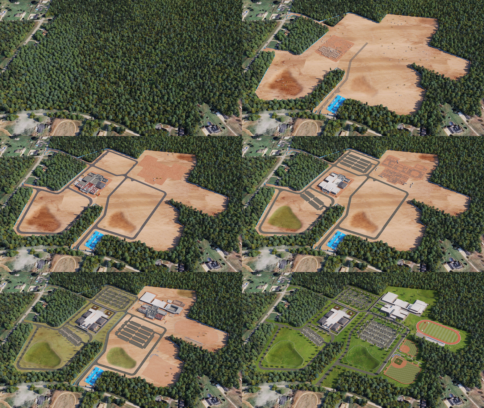
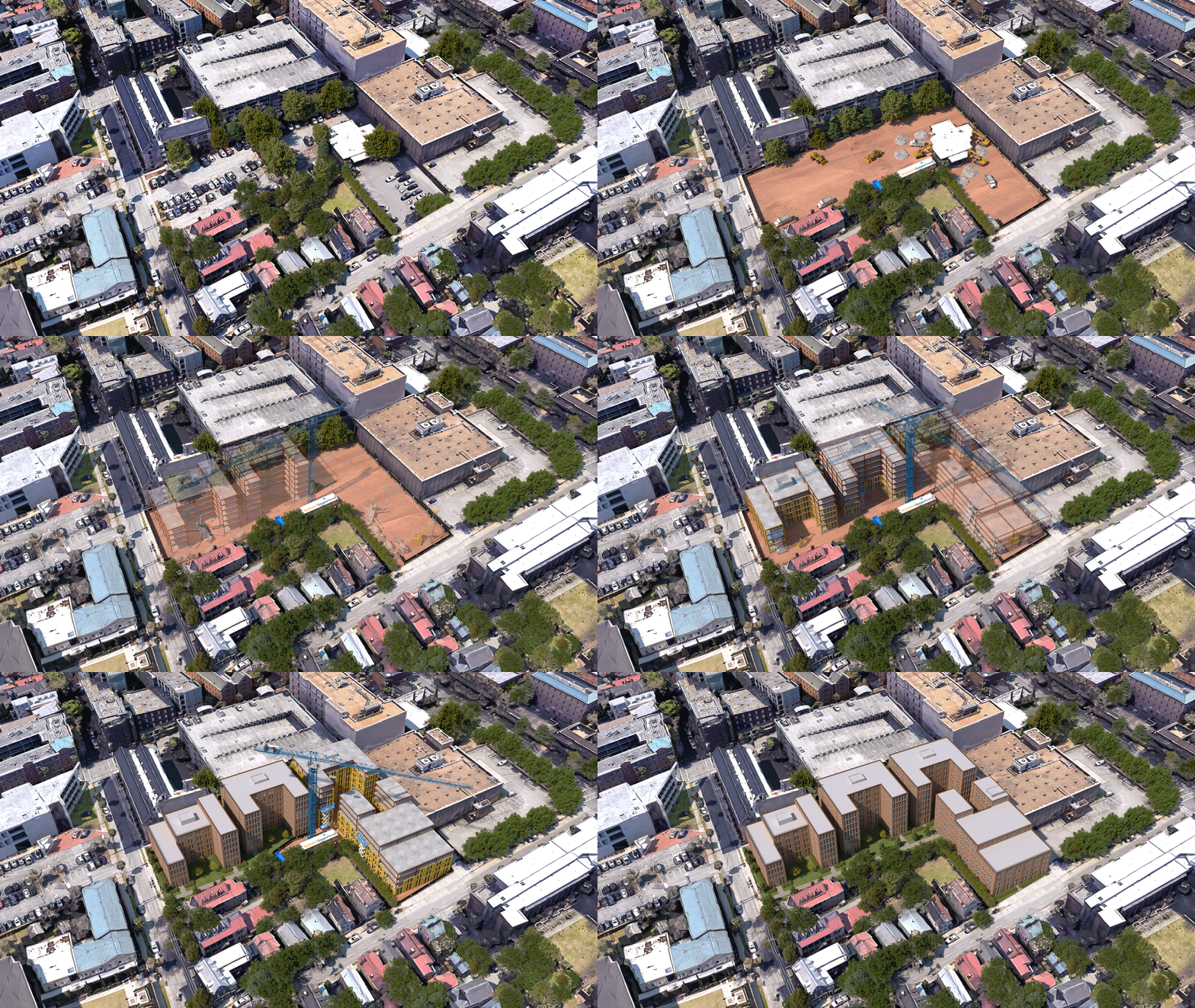
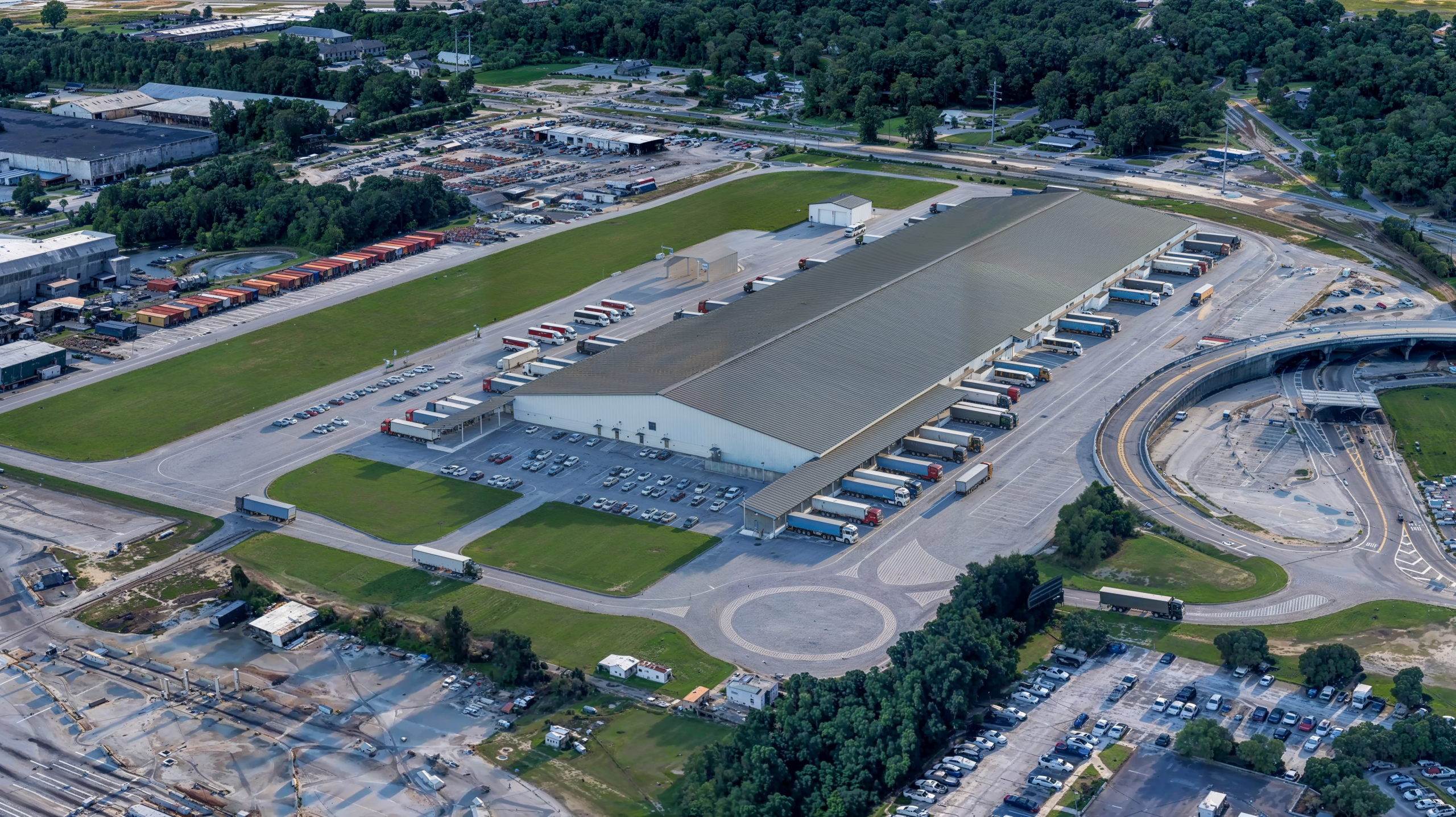
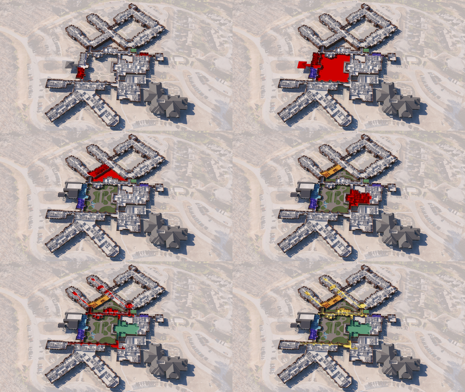
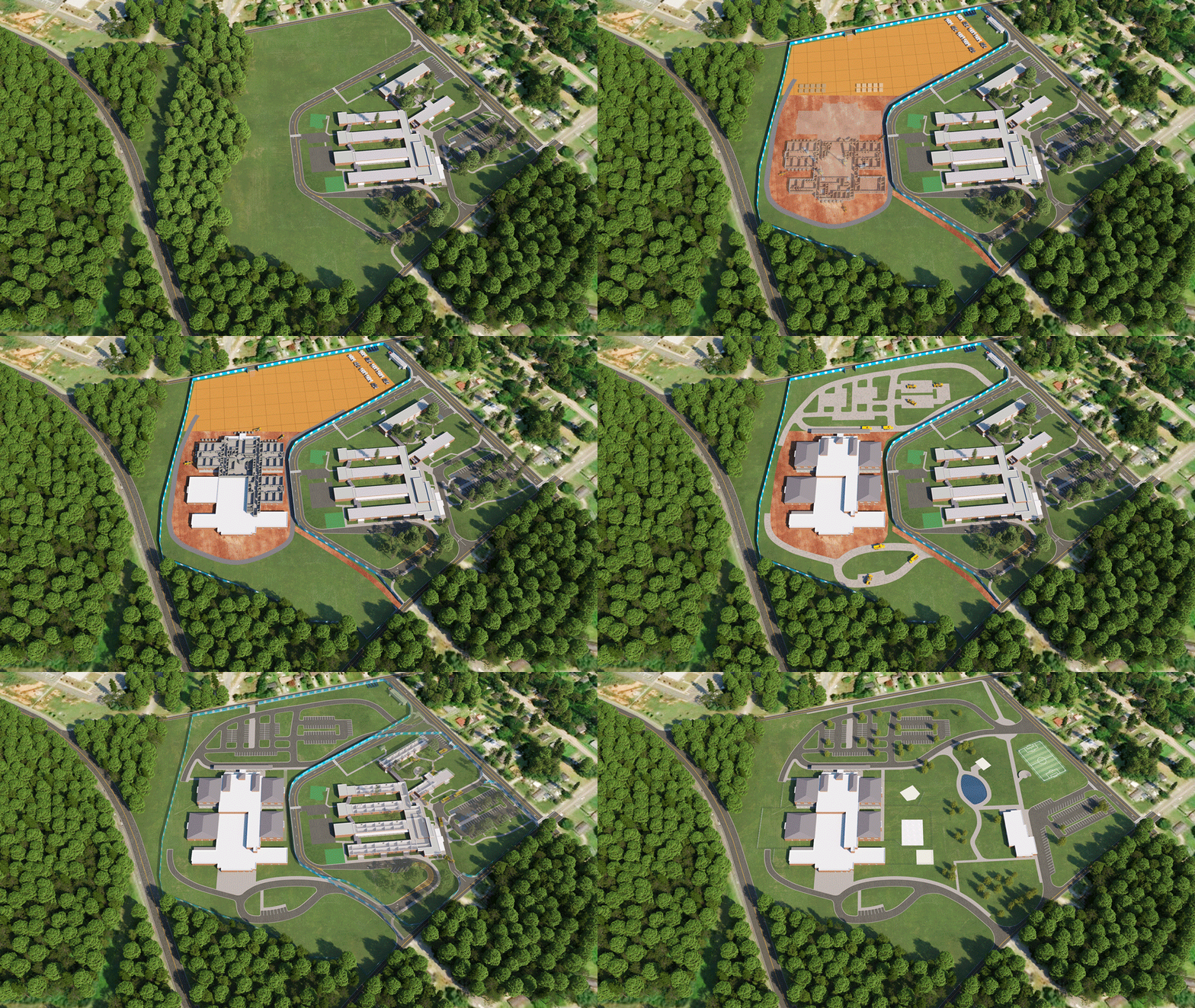
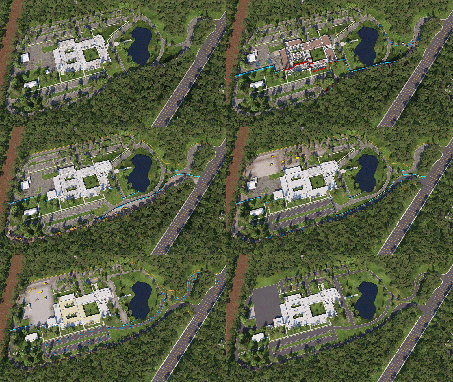
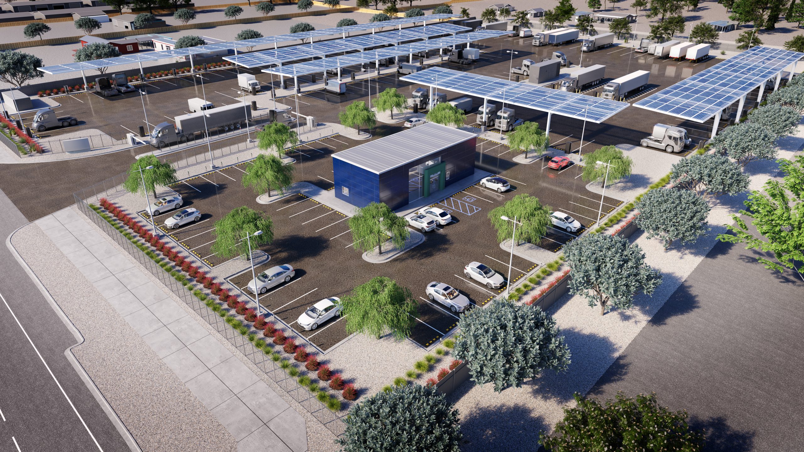
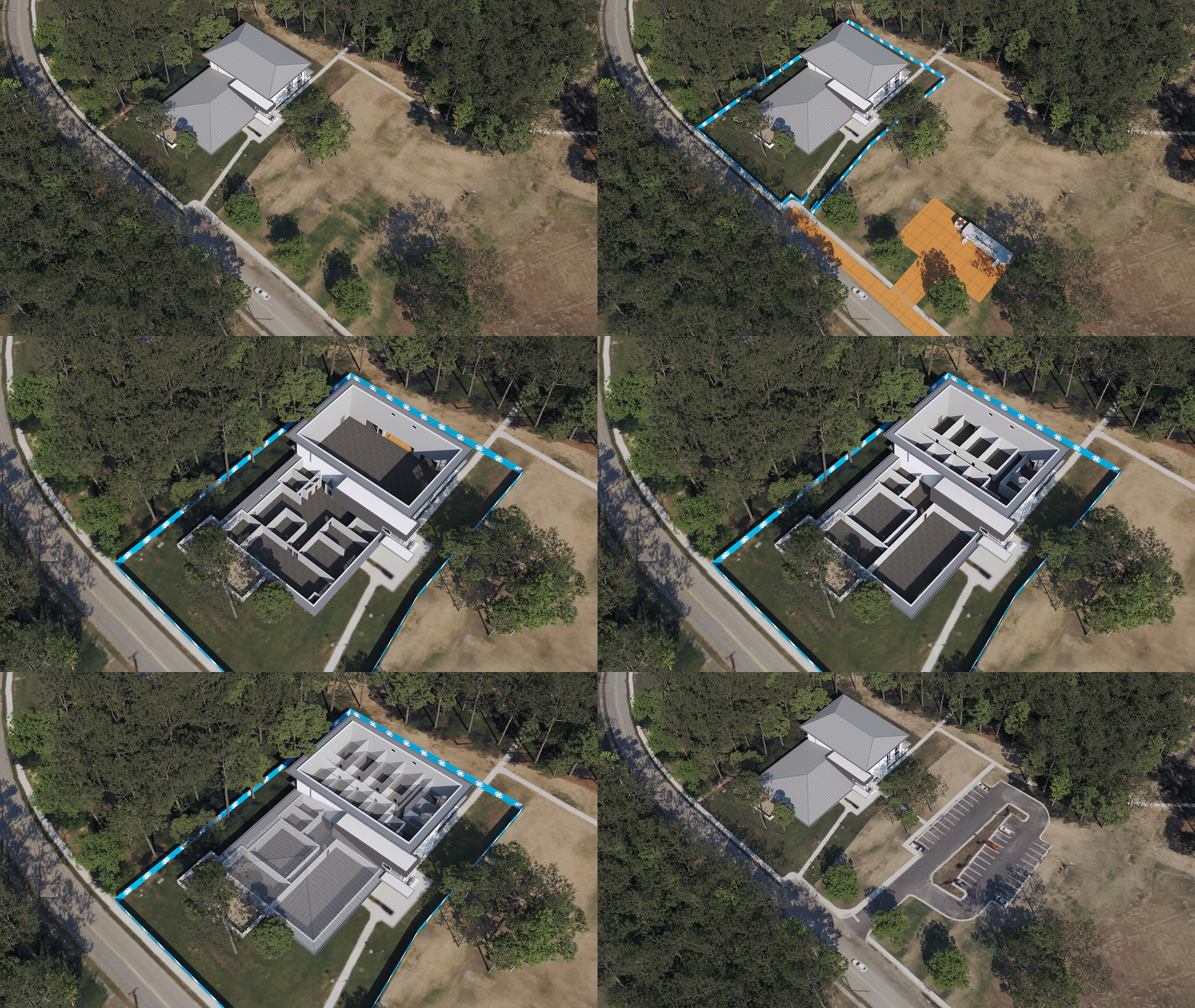
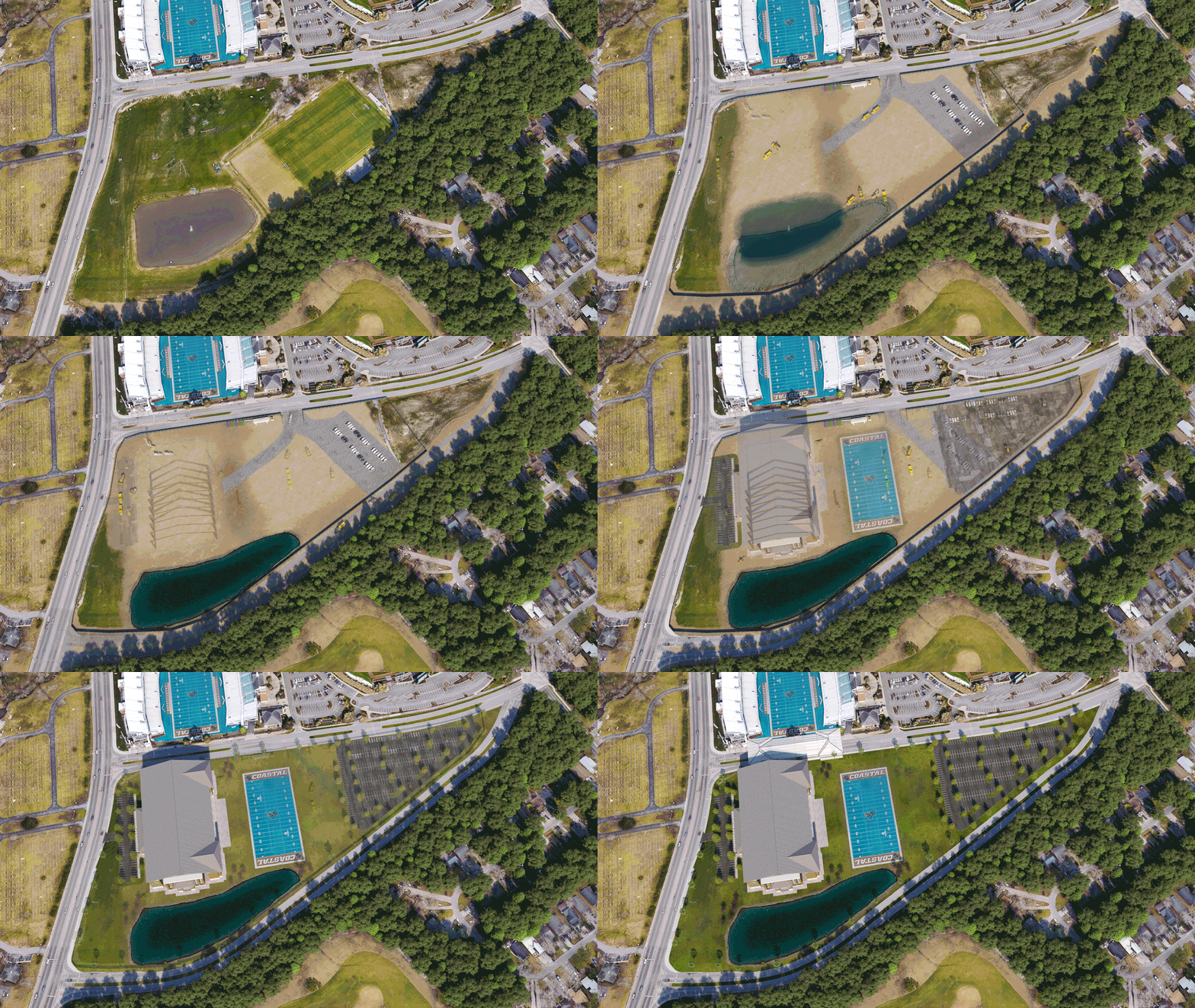
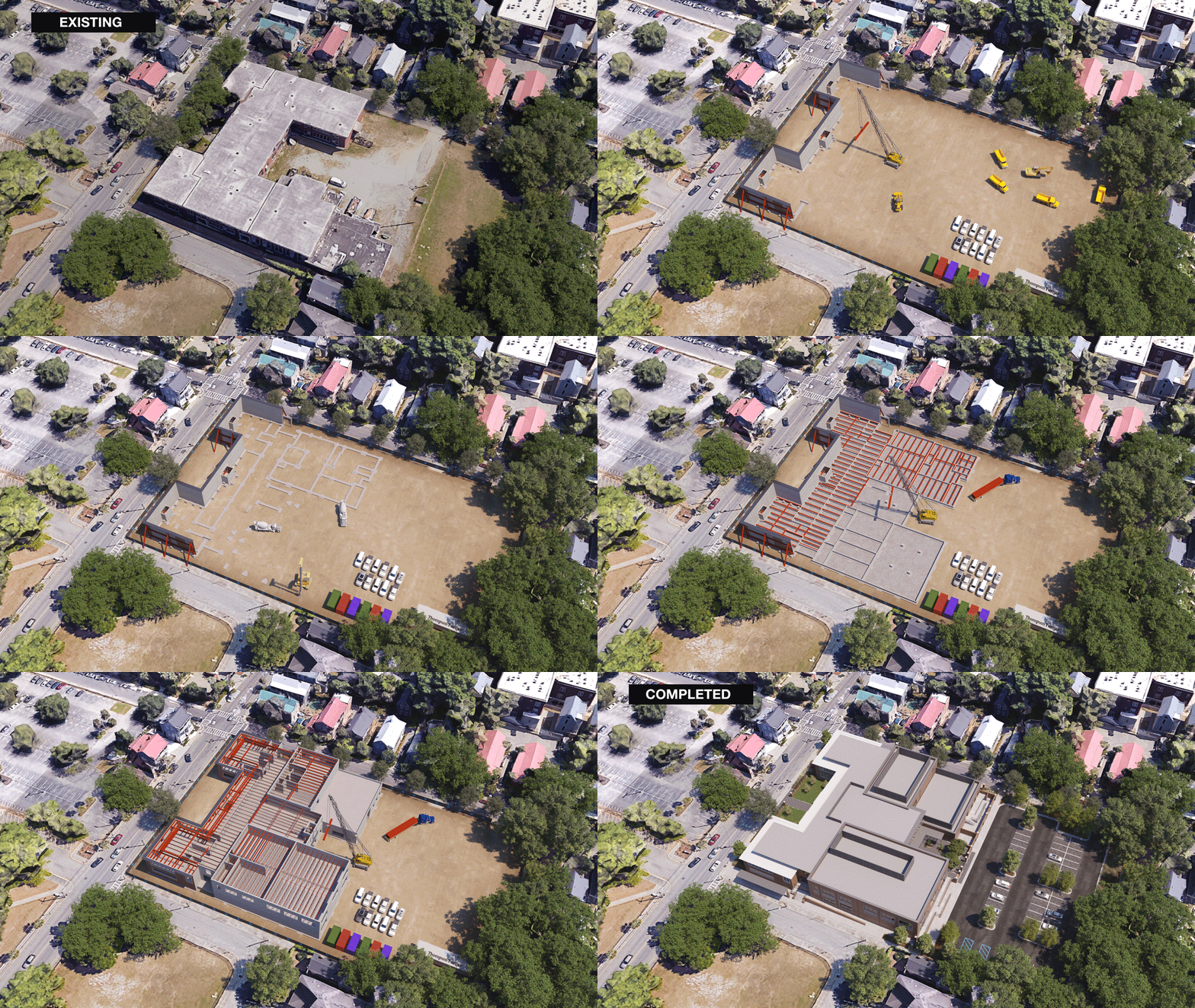
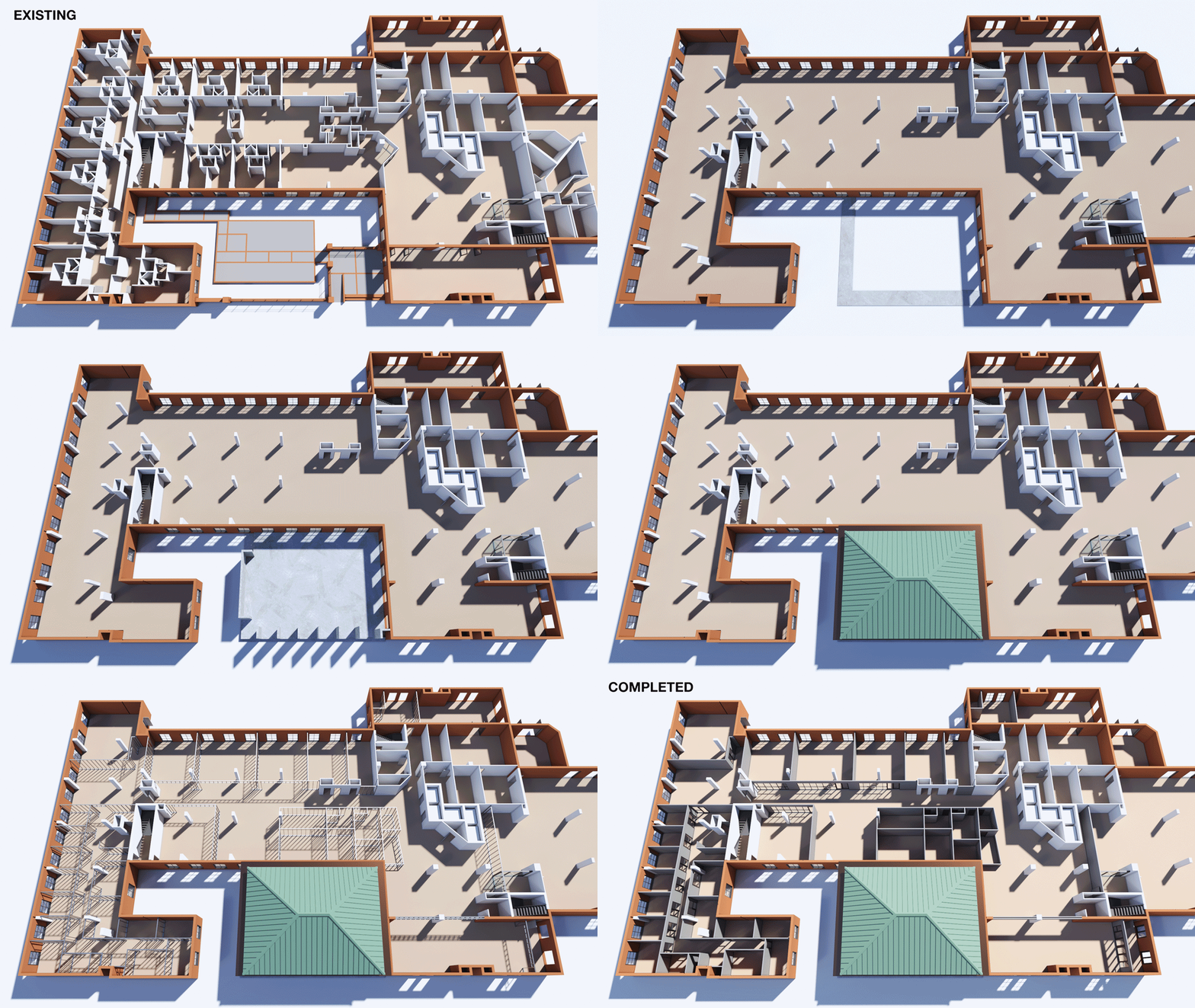
By integrating 3D models with site information and real-world aerial imagery, we can create detailed bird’s-eye views that clearly communicate the scale and scope of a development. Site plans can illustrate construction phases, property relationships, access points, infrastructure, and other important elements, while also serving as effective tools for presentations, planning, approvals, and marketing.
3D site plans can also be developed for more practical applications, including directional maps, utility references, and location-based graphics—turning complex site information into visuals that are easier to navigate and understand.
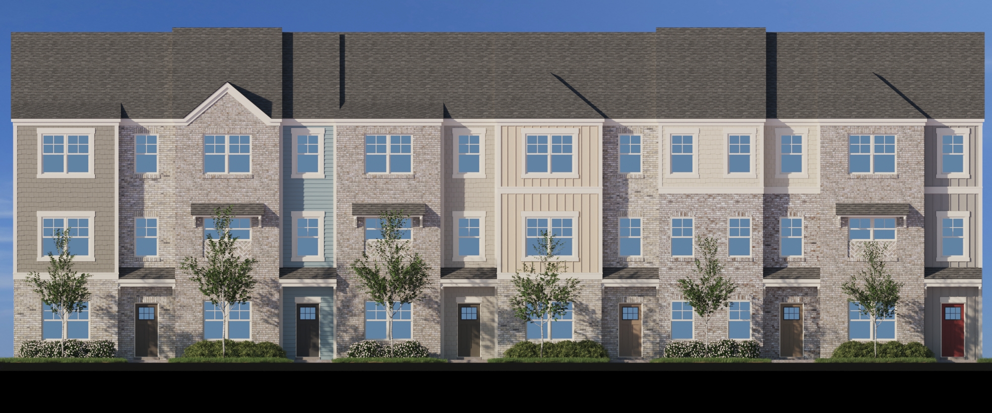
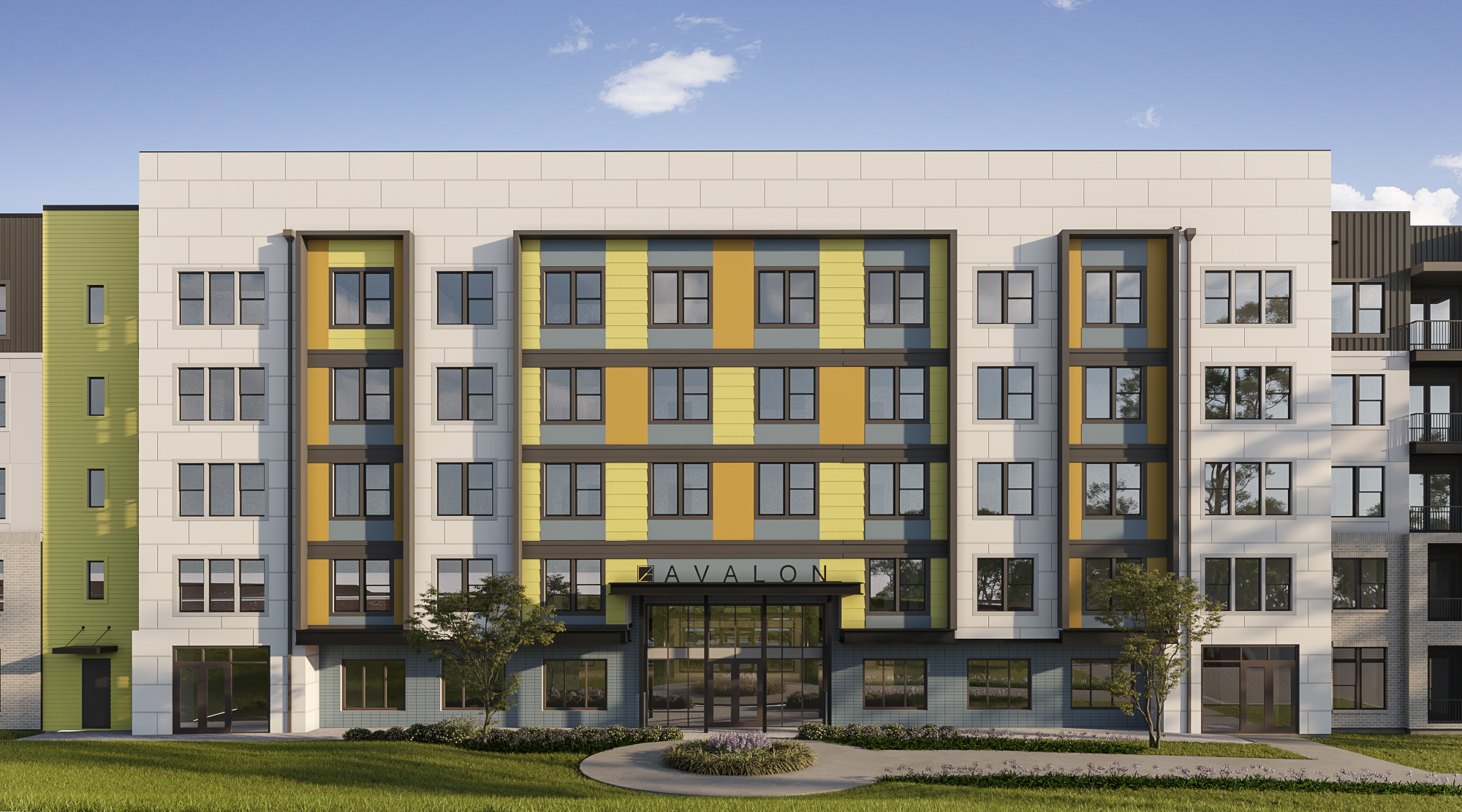
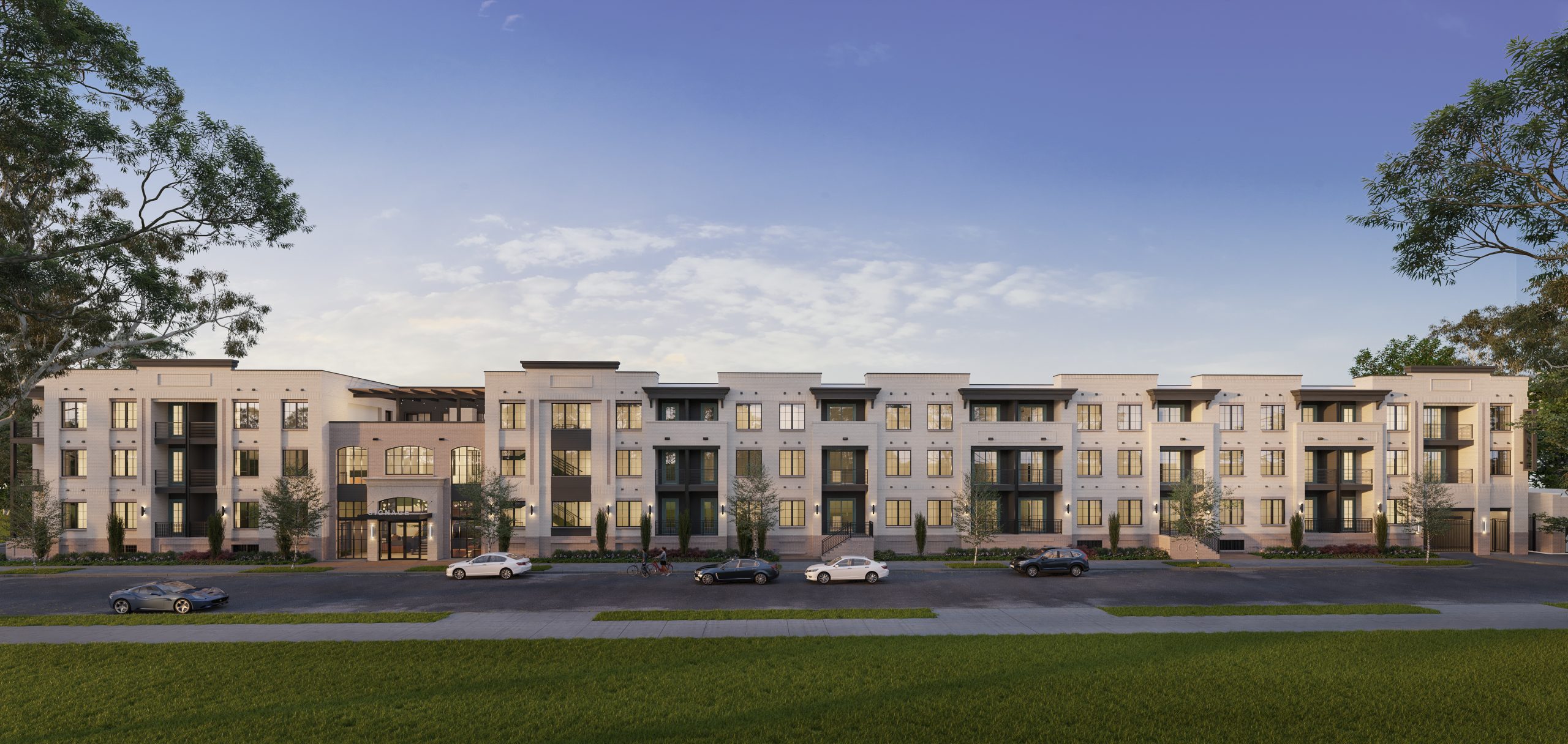
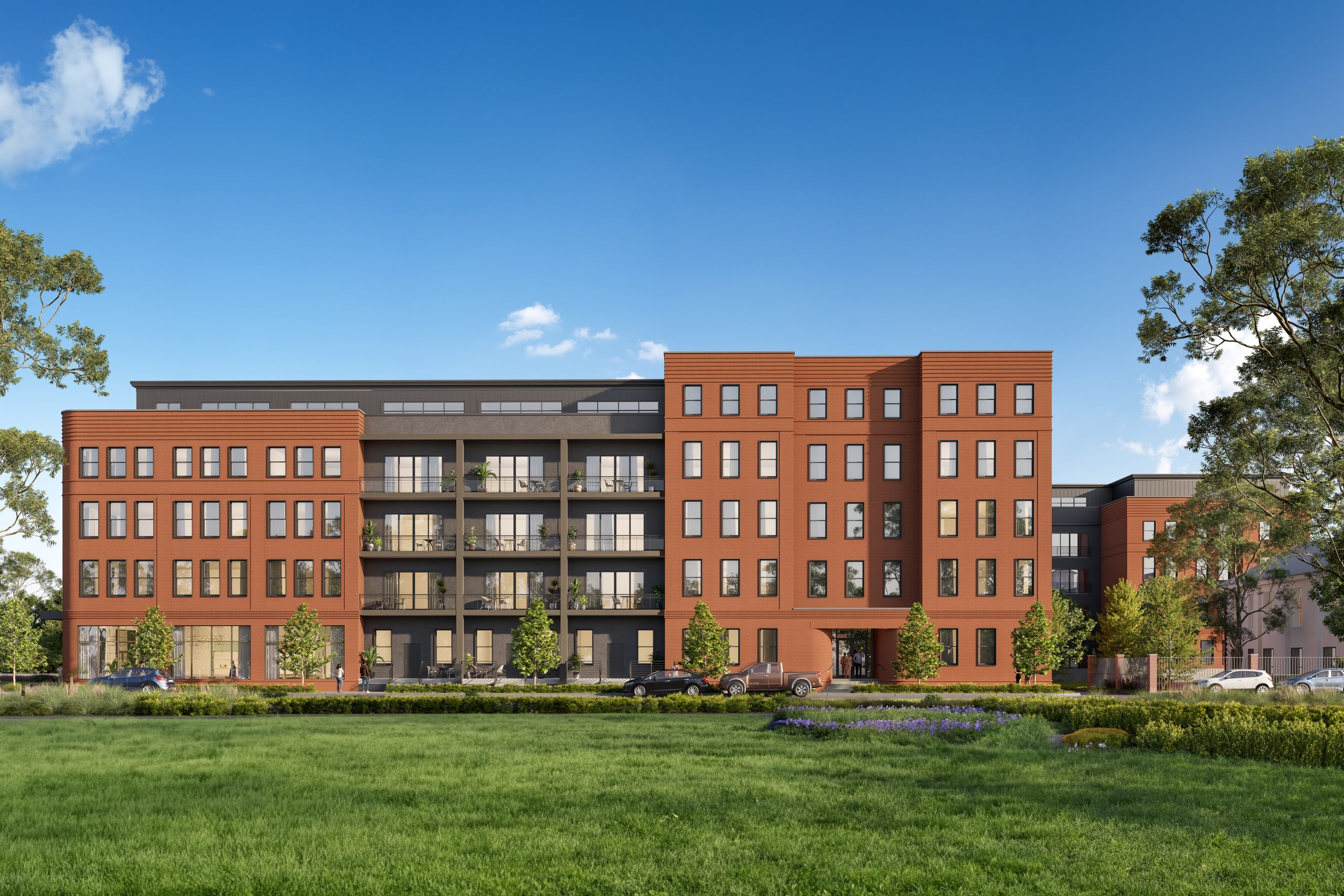
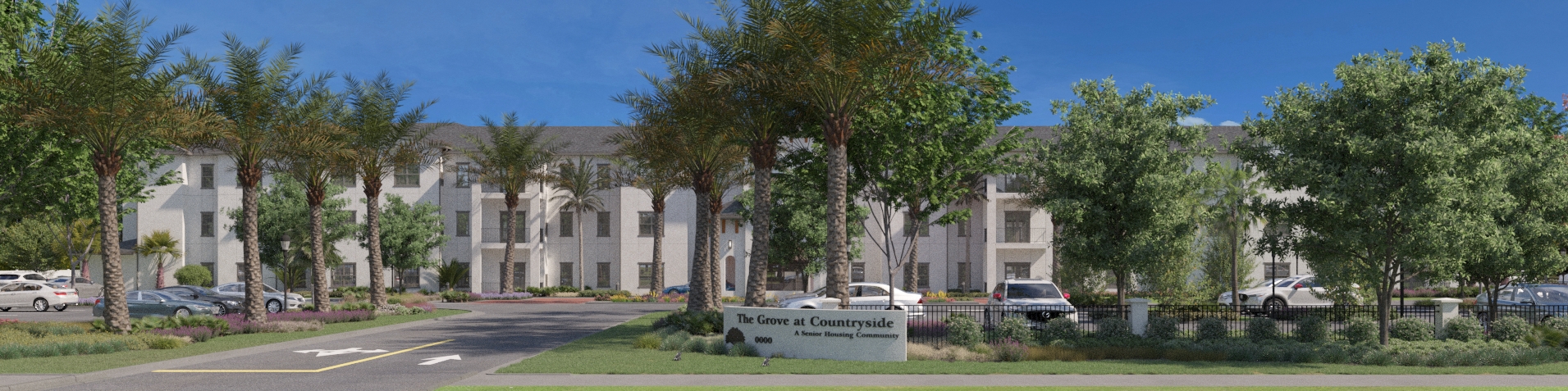
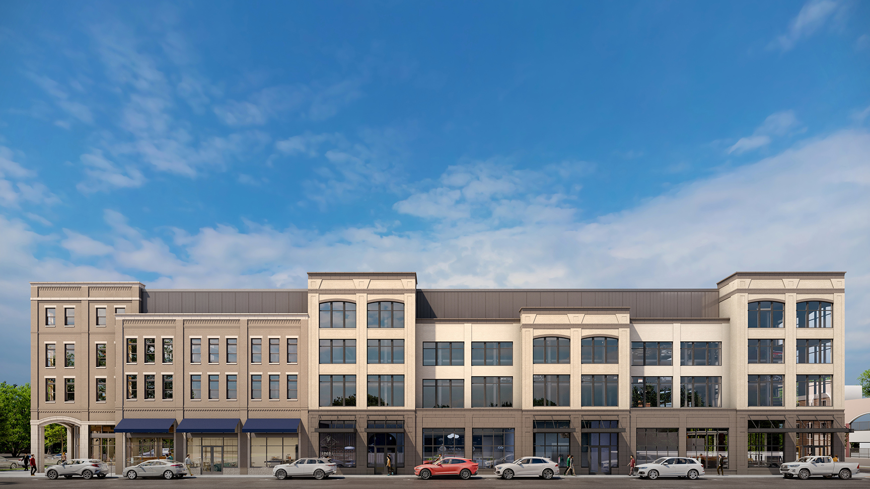
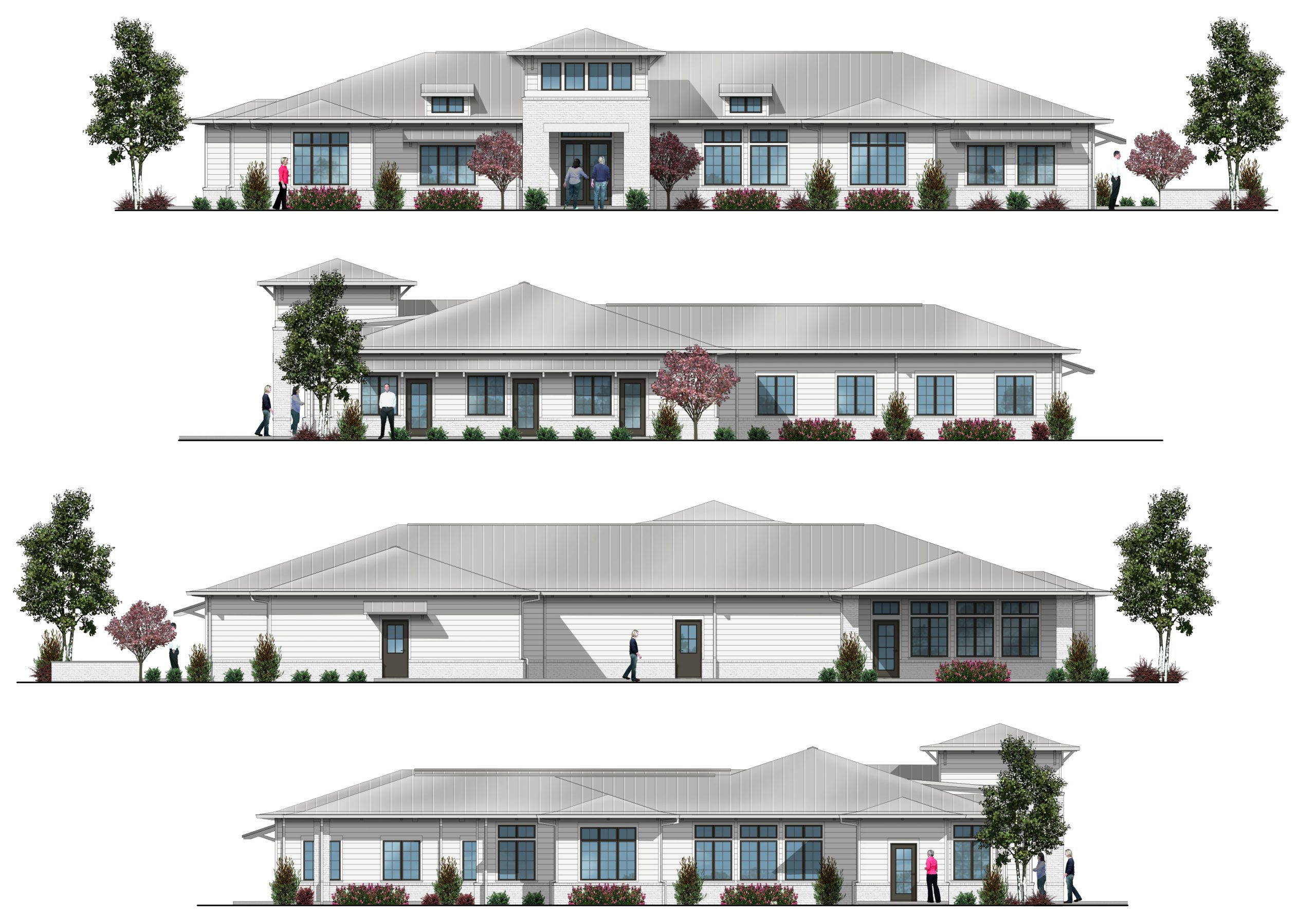
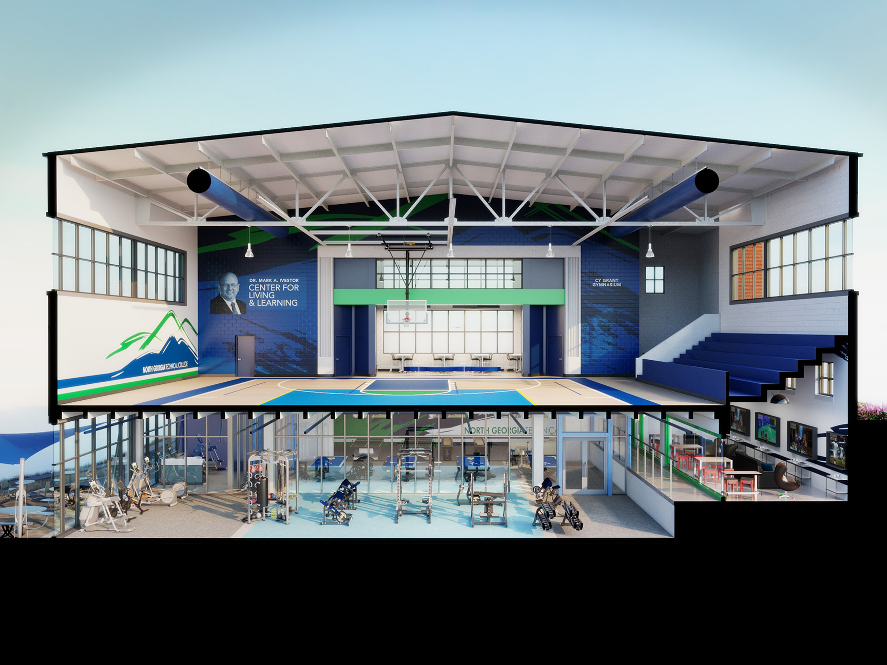
BLUELIME can also transform traditional 2D architectural elevations into polished, dimensional presentations without the need to build a complete 3D model. By incorporating color, materials, textures, shadows, reflections, landscaping, and surrounding elements, we add depth and character while preserving the clarity of the original elevation.
Whether you need to communicate the scope of an entire development or give architectural drawings greater visual impact, our site plans and enhanced elevations make it easier to see the project in context and understand the bigger picture.